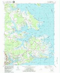
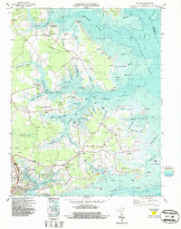
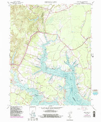
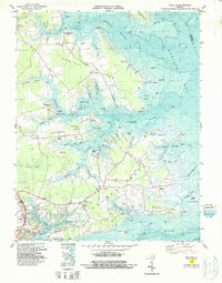
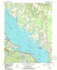
1983 Map of Achilles
USGS Topo · Published 1983About this map
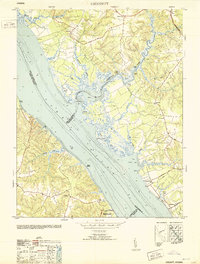
The salt marshes and convoluted shorelines of the Severn River and Ware River define this coastal landscape on Mobjack Bay in the early 1980s. Local transit and commerce historically centered on the water, evidenced by Roanes Wharf and Severn Wharf. The interior of Robins Neck and Saddlers Neck is dotted with small rural settlements and family-linked landmarks, including Groves Memorial Ch and several small burial grounds like Oak Grove Cem.
Find a feature on this map
96 named features on this map. Tap any name to fly to it.
Don’t see what you’re looking for? This feature index may not catch every label — zoom into the map to look around manually.
Map Details
Editions of this 1983 Achilles Map
2 editions found
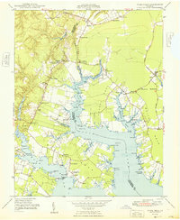
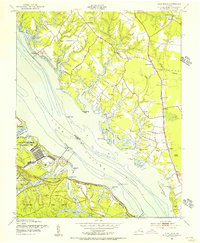
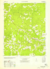
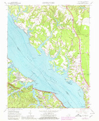
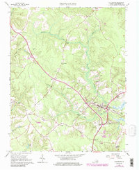
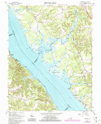
Historical Maps of Gloucester Point Through Time
21 maps found

1906 Williamsburg
Gloucester County, VA

1948 Achilles
Gloucester County, VA
1948 Ware Neck
Gloucester County, VA
1952 Clay Bank
Gloucester County, VA
1952 Gloucester
Gloucester County, VA
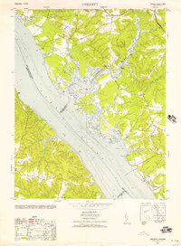
1952 Gressitt
Gloucester County, VA
1953 Gloucester
Gloucester County, VA
1953 Gressitt
Gloucester County, VA
1957 Achilles
Gloucester County, VA
1965 Achilles
Gloucester County, VA
1965 Clay Bank
Gloucester County, VA
1965 Gloucester
Gloucester County, VA
1965 Gressitt
Gloucester County, VA
1965 Ware Neck
Gloucester County, VA
1983 Achilles
Gloucester County, VA
1984 Clay Bank
Gloucester County, VA
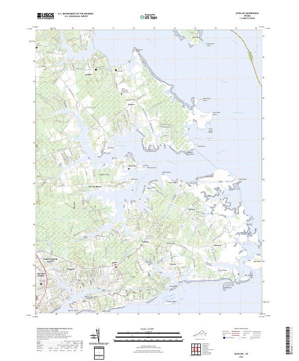
2022 Achilles
Gloucester County, VA
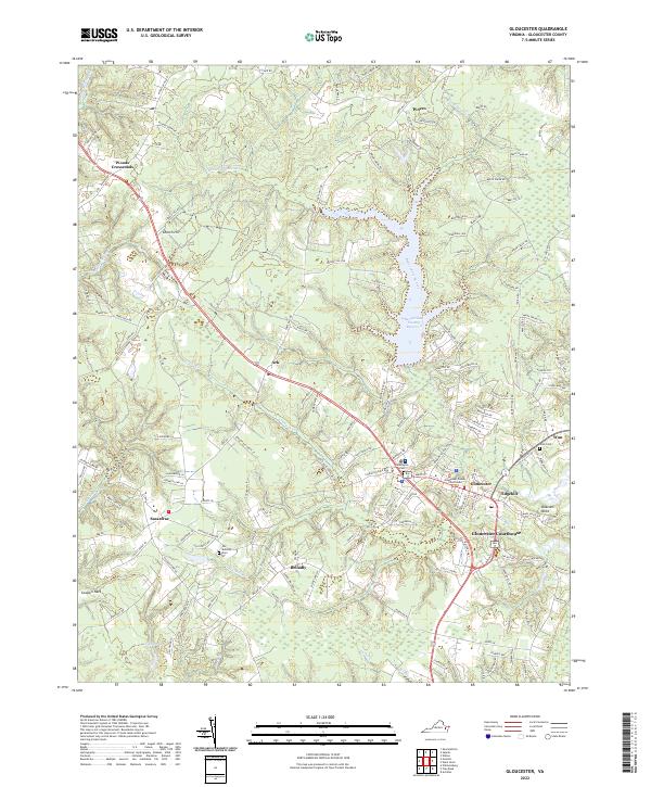
2022 Gloucester
Gloucester County, VA
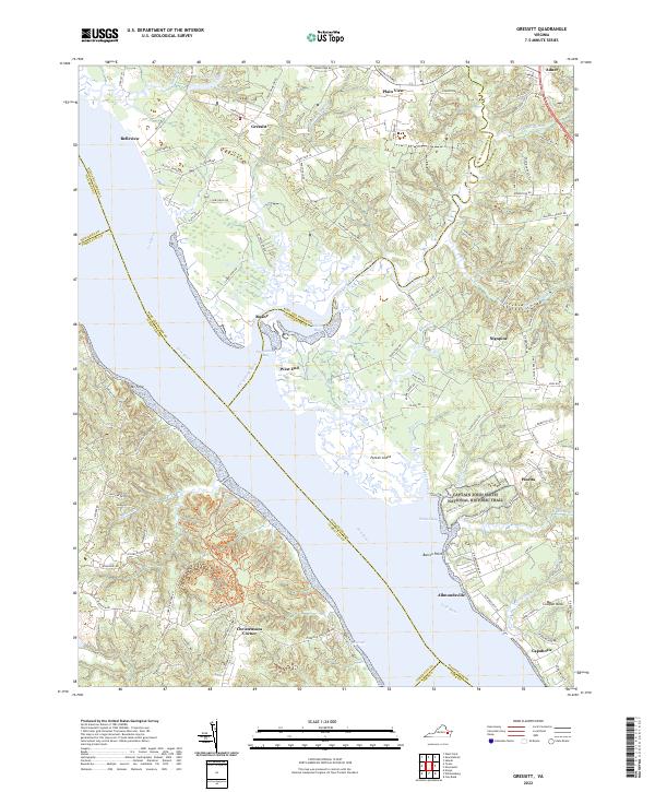
2022 Gressitt
Gloucester County, VA
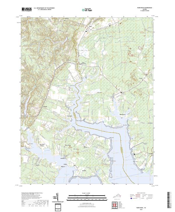
2022 Ware Neck
Gloucester County, VA
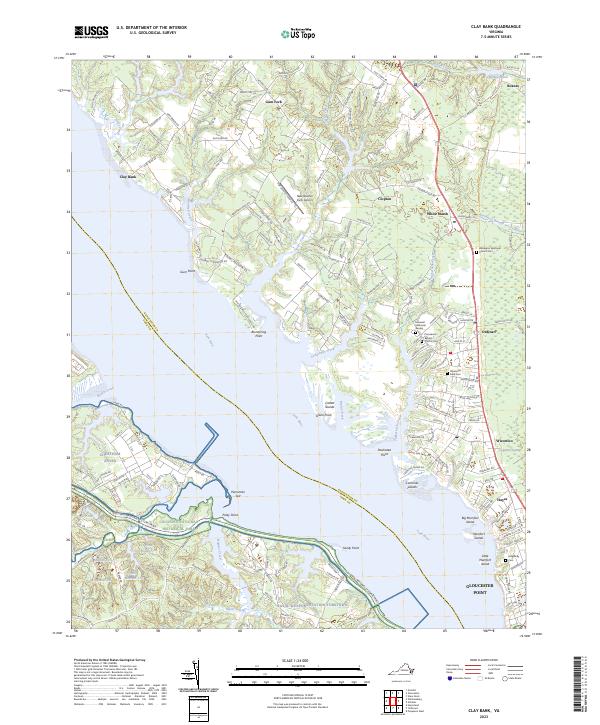
2023 Clay Bank
Gloucester County, VA