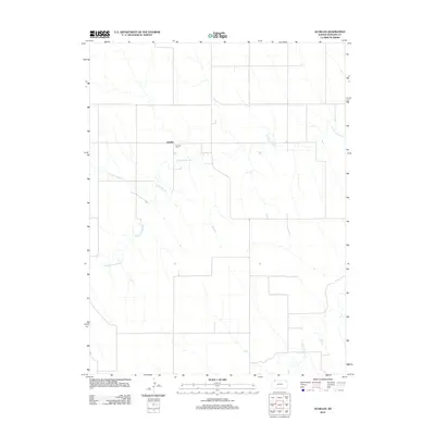
2012 Map of Achilles
USGS Topo · Published 2012About this map
Achilles sits atop the High Plains in the northwest corner of the state, where the rural landscape is defined by the three branches of a major drainage system. The settlement is anchored by the Achilles Cem, providing a focal point for family researchers and genealogists tracing roots in Rawlins County. The terrain is etched by the N Fork Sappa Cr, the Middle Fork Sappa Cr, and the S Fork Sappa Cr. These watercourses create a distinct dendritic drainage pattern across the plateau, illustrating how the natural topography dictates the layout of the section-line roads and local land use. The map captures the quiet, agricultural character of this region where open space and water management are central to the community's history.
Find a feature on this map
5 named features on this map. Tap any name to fly to it.
Don’t see what you’re looking for? This feature index may not catch every label — zoom into the map to look around manually.
Map Details
Editions of this 2012 Achilles Map
This is the sole edition of this map. No revisions or reprints were ever made.
Other maps of this area

1951 · Selden
USGS Topo · 1:62,500

1951 · Herndon
USGS Topo · 1:62,500

1951 · Achilles
USGS Topo · 1:62,500

1951 · Oberlin
USGS Topo · 1:62,500

1954 · Goodland
USGS Topo · 1:250,000

1956 · Goodland
USGS Topo · 1:250,000

1957 · Goodland
USGS Topo · 1:250,000

1965 · Oberlin SW
USGS Topo · 1:24,000

1965 · Achilles
USGS Topo · 1:24,000

1965 · Selden NW
USGS Topo · 1:24,000