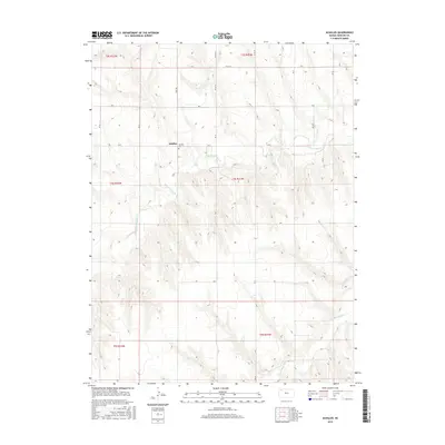
2015 Map of Achilles
USGS Topo · Published 2015About this map
Achilles sits as the central point of interest in this high-plains landscape of Rawlins County, Kansas. The topography is defined by the branching drainage systems of the Sappa Creek, with the N Fork Sappa Cr, Middle Fork Sappa Cr, and S Fork Sappa Cr cutting distinct valleys across the prairie. This area preserves a traditional section-line road grid, including routes such as Co RD 33 and RD K, which navigate the rises between the creek beds. For those researching local history or genealogy, the Achilles Cem provides a specific point of reference within the settlement area. The map illustrates the sparsely populated, agricultural character of the region, where the natural watercourses remain the primary influence on the placement of roads and homesteads.
Find a feature on this map
26 named features on this map. Tap any name to fly to it.
Don’t see what you’re looking for? This feature index may not catch every label — zoom into the map to look around manually.
Map Details
Editions of this 2015 Achilles Map
This is the sole edition of this map. No revisions or reprints were ever made.
Other maps of this area

1951 · Selden
USGS Topo · 1:62,500

1951 · Herndon
USGS Topo · 1:62,500

1951 · Achilles
USGS Topo · 1:62,500

1951 · Oberlin
USGS Topo · 1:62,500

1954 · Goodland
USGS Topo · 1:250,000

1956 · Goodland
USGS Topo · 1:250,000

1957 · Goodland
USGS Topo · 1:250,000

1965 · Oberlin SW
USGS Topo · 1:24,000

1965 · Achilles
USGS Topo · 1:24,000

1965 · Selden NW
USGS Topo · 1:24,000