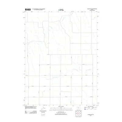
2012 Map of Achilles SE
USGS Topo · Published 2012About this map
N Fork Prairie Dog Cr and S Fork Sappa Cr carve their way through this section of the High Plains, defining the drainage patterns of northwestern Kansas. The landscape is structured by a precise grid of rural thoroughfares, including Co Road AA, Co Road BB, and Co Road CC, which represent the enduring section-line road system essential to the region's agricultural economy. This 2012 survey by the U.S. Geological Survey illustrates how the modern transportation network, featuring routes like Co Road-465 and Co Road DD, follows the logic of the original land partitions. The map provides a clear view of the intersection between these natural waterways and the rigid human geometry of Rawlins County, showing the distribution of farmsteads and rural infrastructure in the early 21st century.
Find a feature on this map
14 named features on this map. Tap any name to fly to it.
Don’t see what you’re looking for? This feature index may not catch every label — zoom into the map to look around manually.
Map Details
Editions of this 2012 Achilles SE Map
This is the sole edition of this map. No revisions or reprints were ever made.
Other maps of this area

1951 · Selden
USGS Topo · 1:62,500

1951 · Achilles
USGS Topo · 1:62,500

1954 · Goodland
USGS Topo · 1:250,000

1956 · Goodland
USGS Topo · 1:250,000

1957 · Goodland
USGS Topo · 1:250,000

1965 · Achilles
USGS Topo · 1:24,000

1965 · Selden NW
USGS Topo · 1:24,000

1978 · Long Draw South
USGS Topo · 1:24,000

1978 · Achilles SE
USGS Topo · 1:24,000

1978 · Selden SW
USGS Topo · 1:24,000