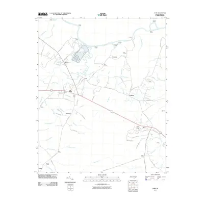
2010 Map of Acme
USGS Topo · Published 2010About this map
The Cape Fear River anchors this landscape in southeastern North Carolina, marked by a series of river access points including Blenon Landing, Caintuck Landing, and Neils Eddy Landing. The region reflects a mix of industry and agriculture, with settlements like Riegelwood and Acme situated near the riverbanks, while the village of New Berlin lies further south along the transport corridors of Delco. The presence of the Delco Post Office and numerous family burial grounds, such as Scull Cemetery and Atkinson Cemetery, suggests a deeply rooted community structure maintained over generations.
Find a feature on this map
88 named features on this map. Tap any name to fly to it.
Don’t see what you’re looking for? This feature index may not catch every label — zoom into the map to look around manually.
Map Details
Editions of this 2010 Acme Map
This is the sole edition of this map. No revisions or reprints were ever made.
Other maps of this area

1943 · Honey Island
USGS Topo · 1:24,000

1943 · Winnabow
USGS Topo · 1:24,000

1943 · Lewis Swamp
USGS Topo · 1:24,000

1944 · Winnabow
USGS Topo · 1:31,680

1944 · Lewis Swamp
USGS Topo · 1:31,680

1950 · Winnabow
USGS Topo · 1:25,000

1953 · Florence
USGS Topo · 1:250,000

1954 · Florence
USGS Topo · 1:250,000

1954 · Acme
USGS Topo · 1:62,500

1954 · Bolton
USGS Topo · 1:62,500