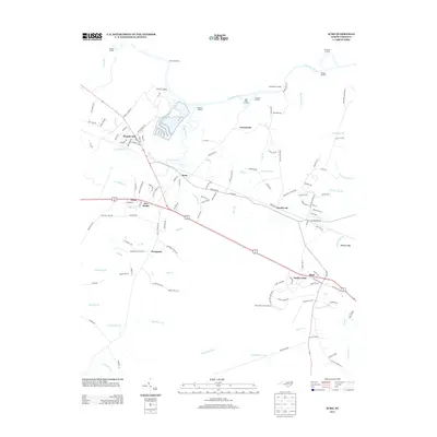
2013 Map of Acme
USGS Topo · Published 2013About this map
Riegelwood and the industrial corridors of the southern North Carolina coastal plain are captured here in 2013, showing a landscape defined by its proximity to the Cape Fear River. The network of landings such as Pridgeons Landing, Neils Eddy Landing, and Mitchell Landing illustrates the enduring importance of the river for transport and local access. Small settlements like Delco and New Berlin are anchored along the major highway and rail corridor that bisects the map, surrounded by an intricate web of blackwater tributaries including Livingston Cr and Gapway Swamp.
Find a feature on this map
133 named features on this map. Tap any name to fly to it.
Don’t see what you’re looking for? This feature index may not catch every label — zoom into the map to look around manually.
Map Details
Editions of this 2013 Acme Map
This is the sole edition of this map. No revisions or reprints were ever made.
Other maps of this area

1943 · Honey Island
USGS Topo · 1:24,000

1943 · Winnabow
USGS Topo · 1:24,000

1943 · Lewis Swamp
USGS Topo · 1:24,000

1944 · Winnabow
USGS Topo · 1:31,680

1944 · Lewis Swamp
USGS Topo · 1:31,680

1950 · Winnabow
USGS Topo · 1:25,000

1953 · Florence
USGS Topo · 1:250,000

1954 · Florence
USGS Topo · 1:250,000

1954 · Acme
USGS Topo · 1:62,500

1954 · Bolton
USGS Topo · 1:62,500