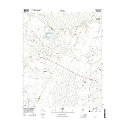
2016 Map of Acme
USGS Topo · Published 2016About this map
The Cape Fear River dominates the northern boundary of this coastal plain landscape, where the borders of Pender, Columbus, and Brunswick counties converge. In the early 21st century, the area is defined by a series of small settlements such as Armour, Acme, and Riegelwood, the latter showing the geometric signatures of industrial and residential development near the riverbank. The terrain transitions from the Cape Fear Lowlands into expansive wetland systems, including Gapway Swamp and the Little Green Swamp.
Find a feature on this map
118 named features on this map. Tap any name to fly to it.
Don’t see what you’re looking for? This feature index may not catch every label — zoom into the map to look around manually.
Map Details
Editions of this 2016 Acme Map
This is the sole edition of this map. No revisions or reprints were ever made.
Other maps of this area

1943 · Honey Island
USGS Topo · 1:24,000

1943 · Winnabow
USGS Topo · 1:24,000

1943 · Lewis Swamp
USGS Topo · 1:24,000

1944 · Winnabow
USGS Topo · 1:31,680

1944 · Lewis Swamp
USGS Topo · 1:31,680

1950 · Winnabow
USGS Topo · 1:25,000

1953 · Florence
USGS Topo · 1:250,000

1954 · Florence
USGS Topo · 1:250,000

1954 · Acme
USGS Topo · 1:62,500

1954 · Bolton
USGS Topo · 1:62,500