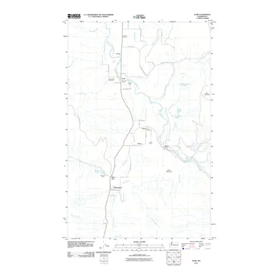
2011 Map of Acme
USGS Topo · Published 2011About this map
The South Fork Nooksack River and Samish River dominate this landscape, defining the valley corridors where the communities of Acme, Wickersham, and Saxon developed. The area reflects a history of resource extraction and local industry, evidenced by the Marona Mill Pond Dam and the Saxon Quarry. Near the Mirror Lake settlement, the Mirror Lake Siding points to the vital role of rail transport in moving goods through the valley. This 2011 survey captures the distribution of rural landmarks, from the Acme Post Office to the Saxon Cemetery, while highlighting the network of logging roads like Blue Mountain Logging Rd that climb toward the surrounding peaks of Blue Mountain and Eddys Mountain.
Find a feature on this map
52 named features on this map. Tap any name to fly to it.
Don’t see what you’re looking for? This feature index may not catch every label — zoom into the map to look around manually.
Map Details
Editions of this 2011 Acme Map
This is the sole edition of this map. No revisions or reprints were ever made.
Other maps of this area

1906 · Sumas
USGS Topo · 1:62,500

1908 · Sumas
USGS Topo · 1:62,500

1918 · Samish Lake
USGS Topo · 1:62,500

1919 · Van Zandt
USGS Topo · 1:62,500

1921 · Wickersham
USGS Topo · 1:62,500

1951 · Wickersham
USGS Topo · 1:62,500

1951 · Van Zandt
USGS Topo · 1:62,500

1952 · Lake Whatcom
USGS Topo · 1:24,000

1952 · Lawrence
USGS Topo · 1:24,000

1952 · Alger
USGS Topo · 1:24,000