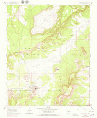
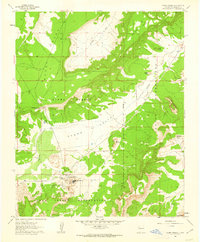
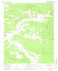
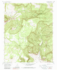
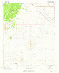
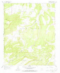
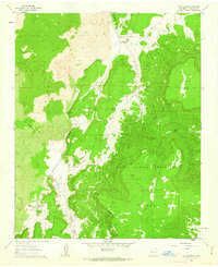
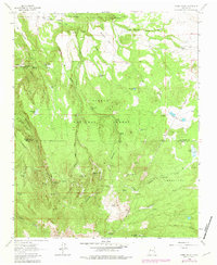
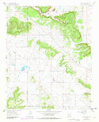
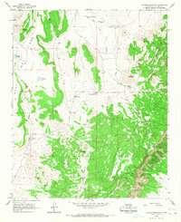
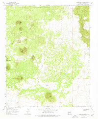
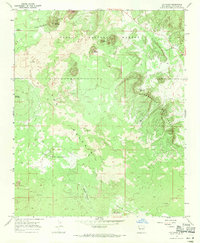
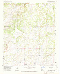
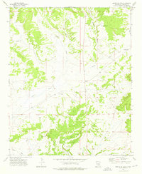
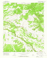
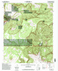
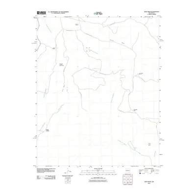
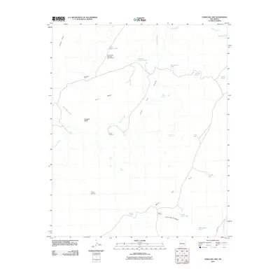
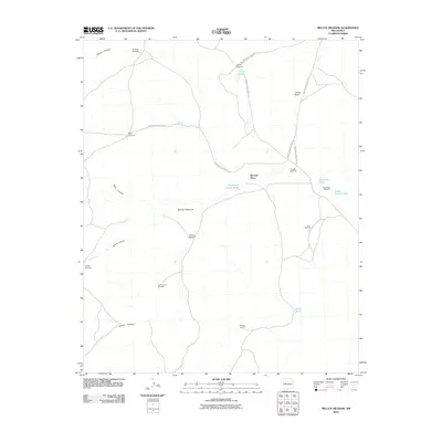
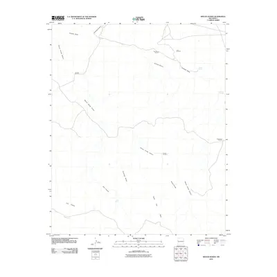
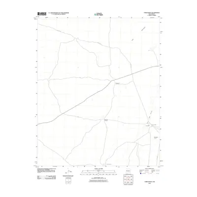
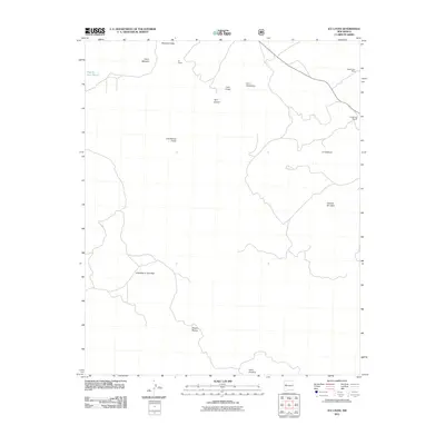
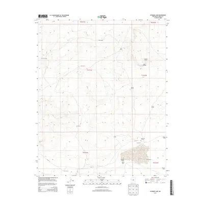
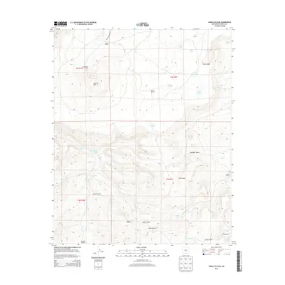
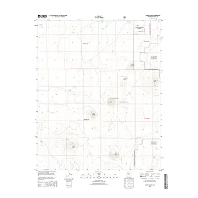
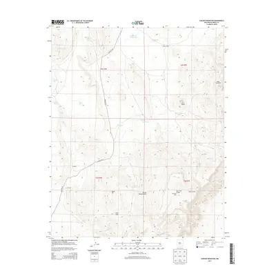
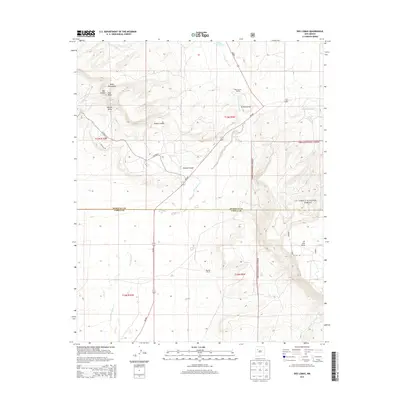
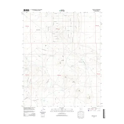
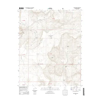
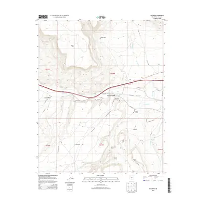
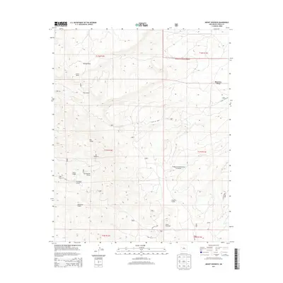
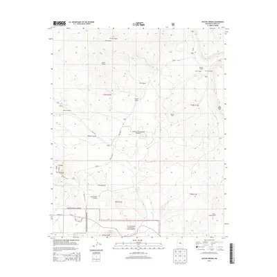
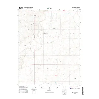
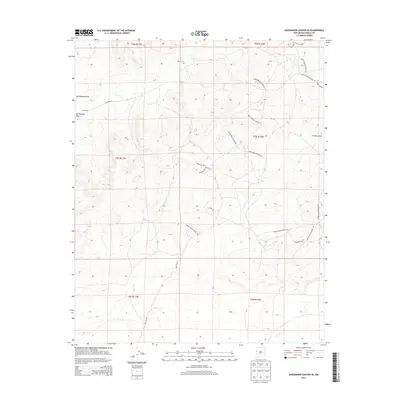
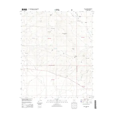
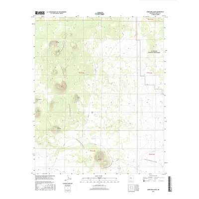
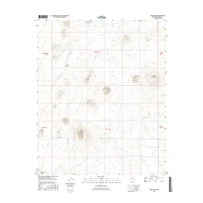
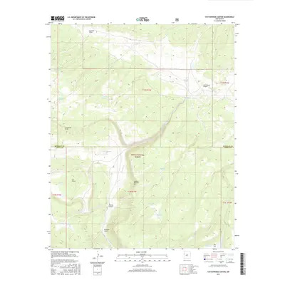
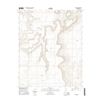
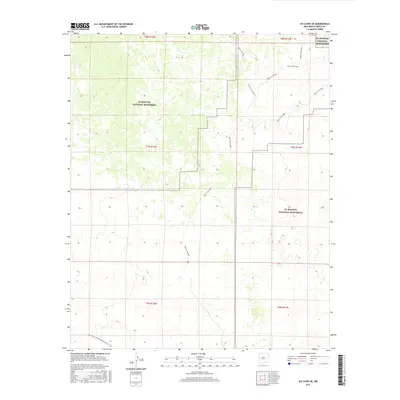
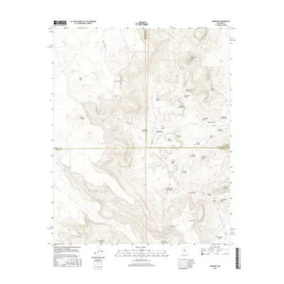
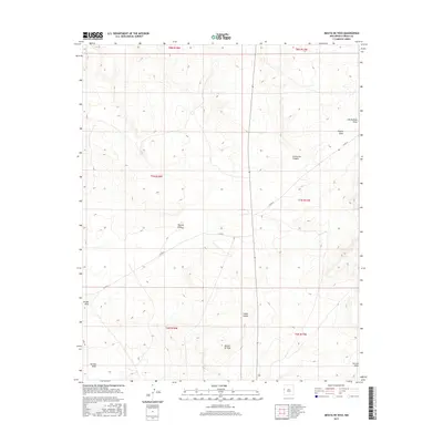
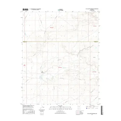
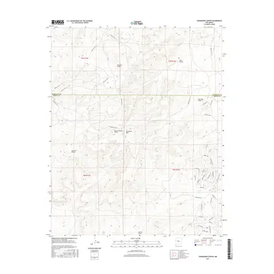
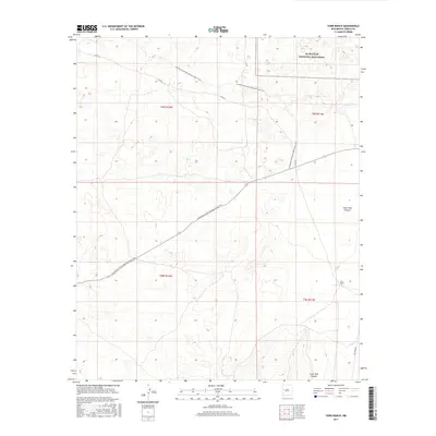
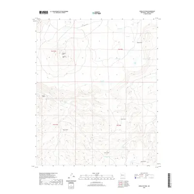
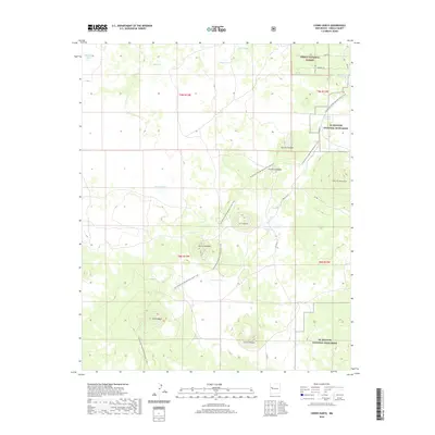
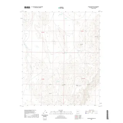
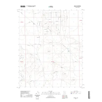
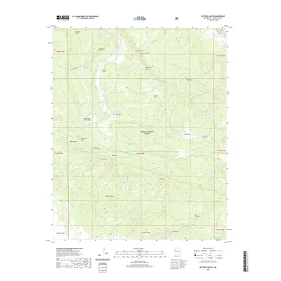
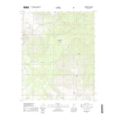
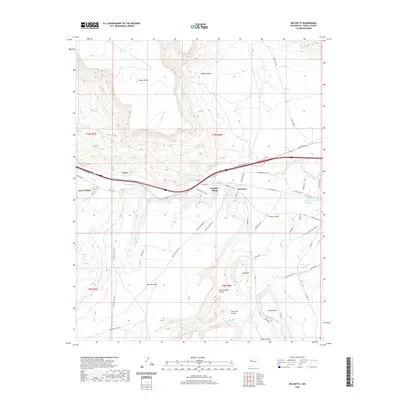
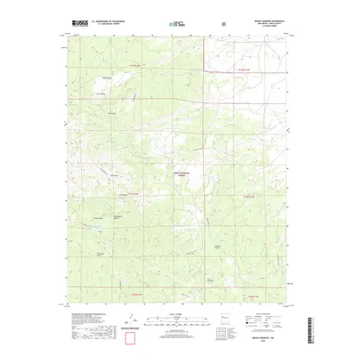
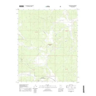
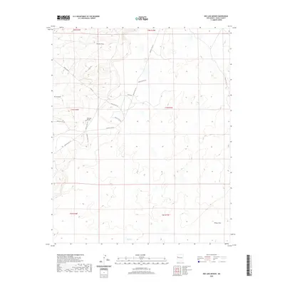
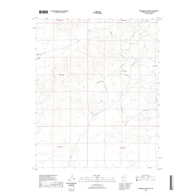
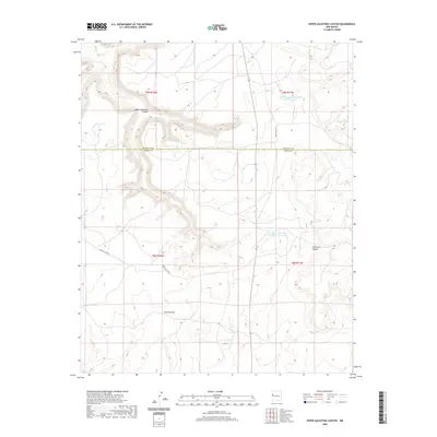
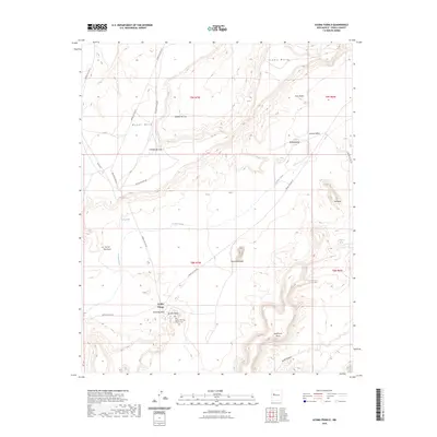
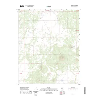
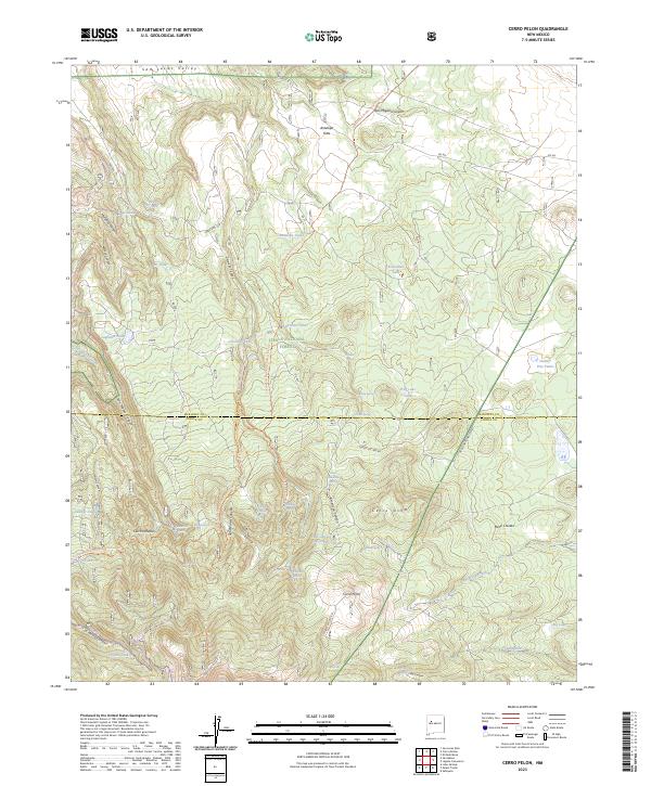
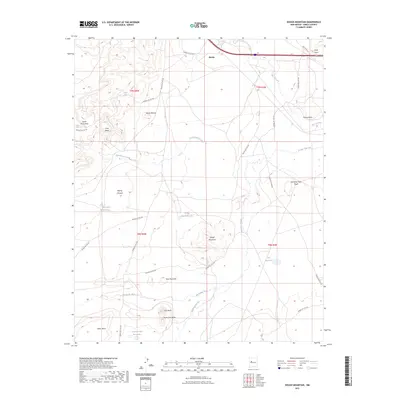
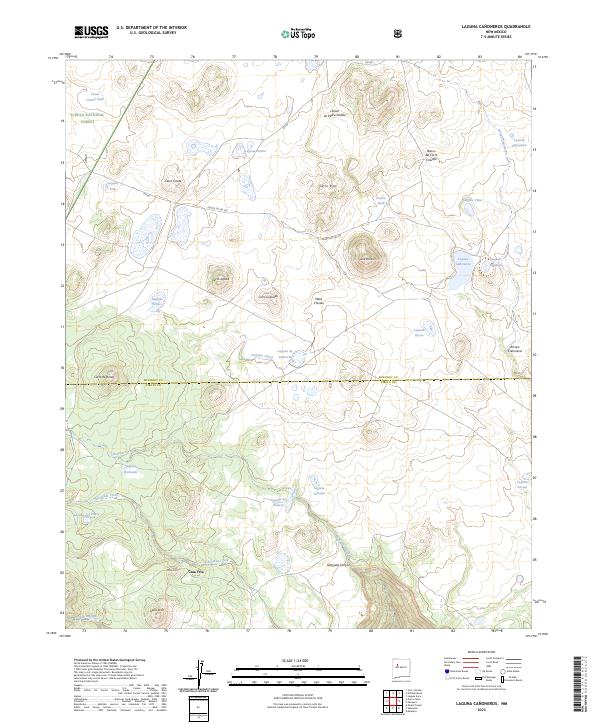
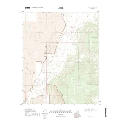
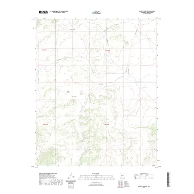
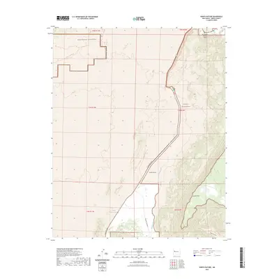
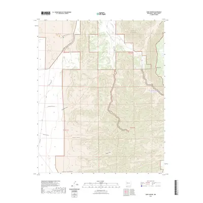
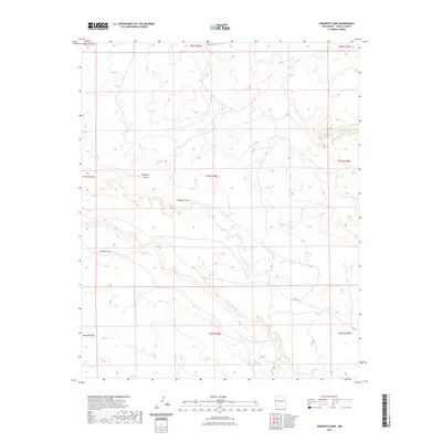
1961 Map of Acoma Pueblo
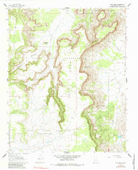
USGS Topo · Published 1979About this map
Acoma Pueblo and its historic core at Acoma Village occupy the heart of this landscape, situated atop a dramatic landform surrounded by a network of mesas and buttes. This survey, based on 1956 photography and field-checked in the early 1960s, documents the geographic relationship between the Acoma Pueblo Indian Reservation and the adjacent Laguna Indian Reservation. The terrain is defined by striking features like Mesa Encantada and Dinosaur Rock, highlighting the geological isolation that shaped centuries of settlement here. Drainage patterns are led by Acoma Creek, while vital water sources such as Acoma Springs and Dripping Springs are noted in an otherwise arid environment. Named landmarks like Woods Mesa, Rabbit Butte, and Petoch Butte provide essential navigational points within the extensive tribal lands.
Find a feature on this map
20 named features on this map. Tap any name to fly to it.
Don’t see what you’re looking for? This feature index may not catch every label — zoom into the map to look around manually.
Map Details
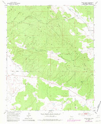
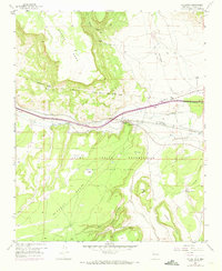
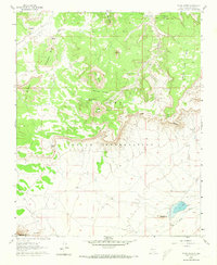
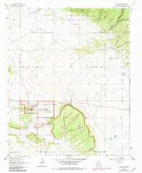
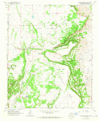
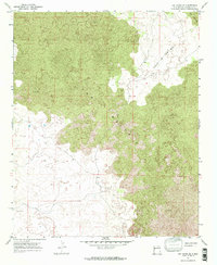
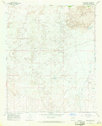
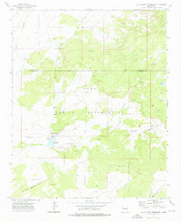
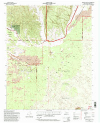
Editions of this 1961 Acoma Pueblo Map
2 editions found
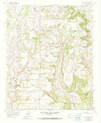
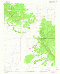
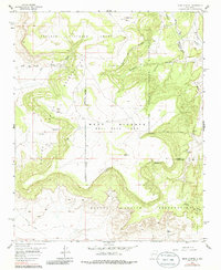
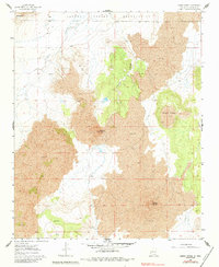
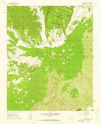
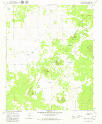
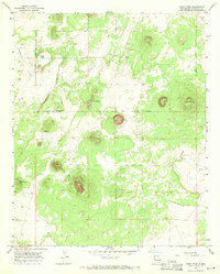
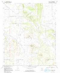
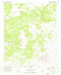
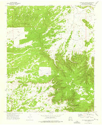
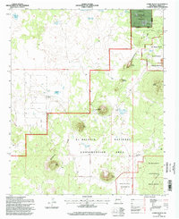
Historical Maps of Acoma Pueblo Through Time
373 maps found

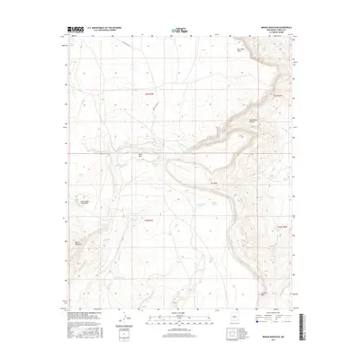
1917 Broom Mountain
Cibola County, NM

1917 Cerro Verde
Cibola County, NM
1951 Mt Sedgwick
Cibola County, NM
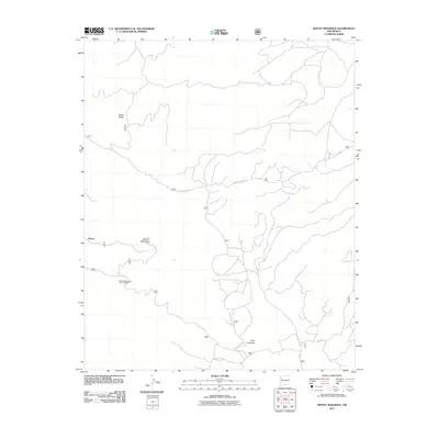
1952 Paxton Springs
Cibola County, NM
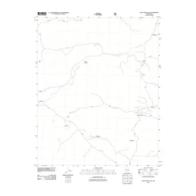
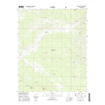
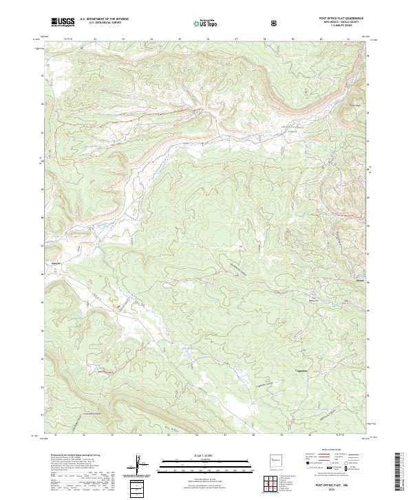
1952 Post Office Flat
Cibola County, NM
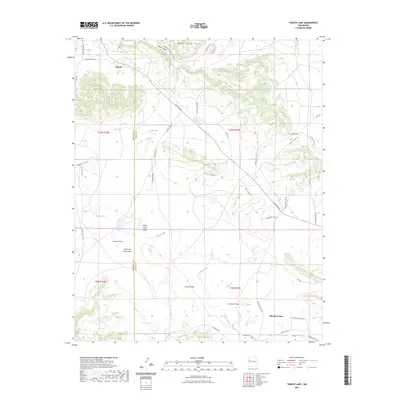
1952 Valle Largo
Cibola County, NM
1957 Arch Mesa
Cibola County, NM
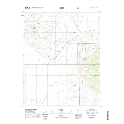
1957 Dos Lomas
Cibola County, NM

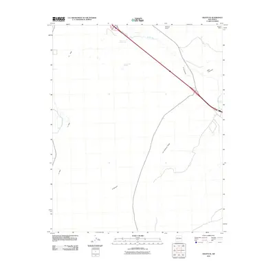
1957 Grants SE
Cibola County, NM
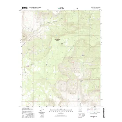
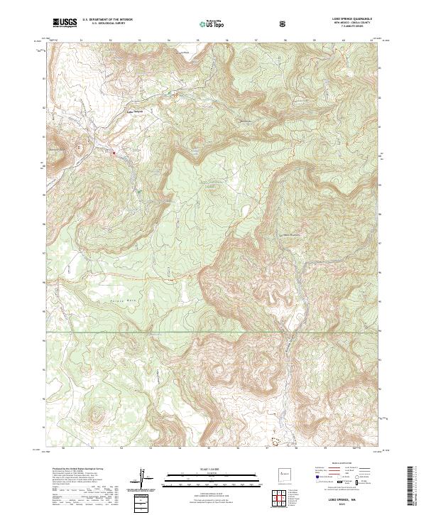
1957 Lobo Springs
Cibola County, NM
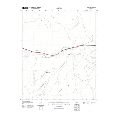
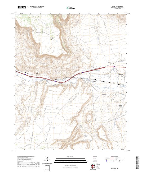
1957 Mc Cartys
Cibola County, NM
1957 Mesa Gigante
Cibola County, NM
1960 Cerro Verde
Cibola County, NM
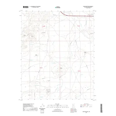
1960 Dough Mountain
Cibola County, NM
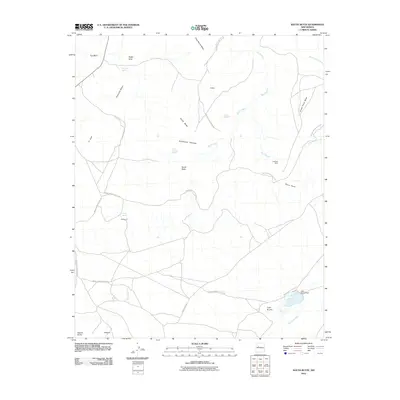
1960 South Butte
Cibola County, NM
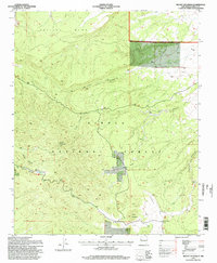
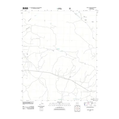
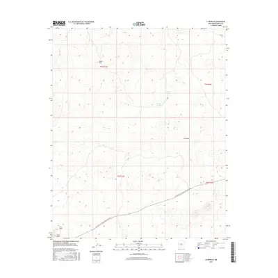
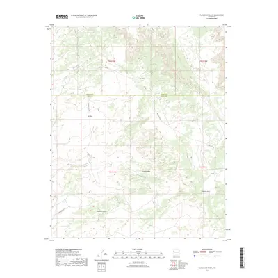
1961 Acoma Pueblo
Cibola County, NM
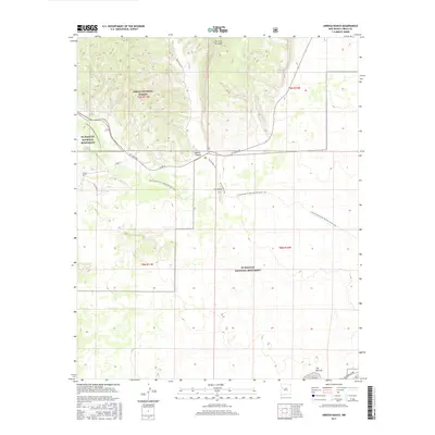
1961 Arrosa Ranch
Cibola County, NM
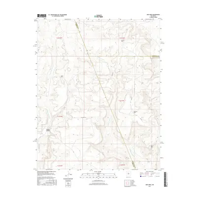
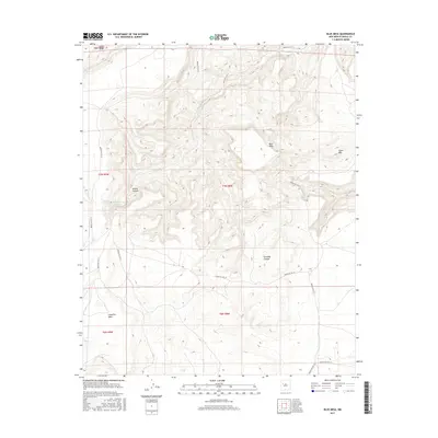
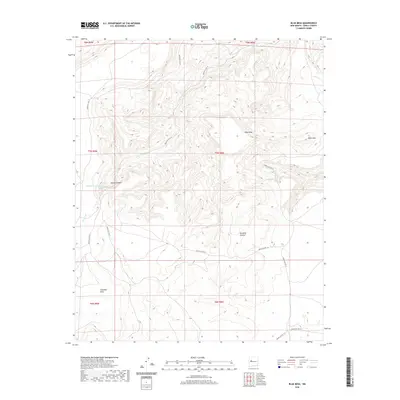
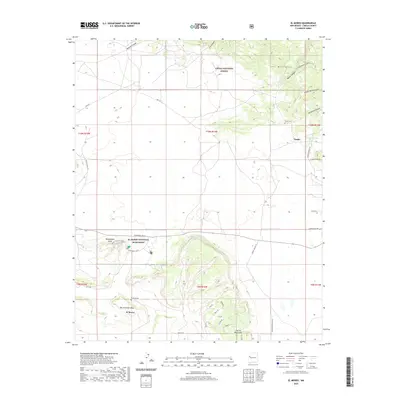
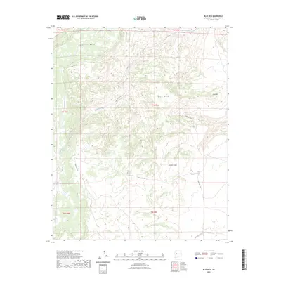
1961 Blue Mesa
Cibola County, NM

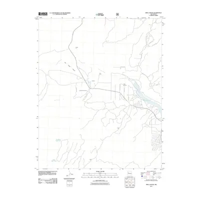
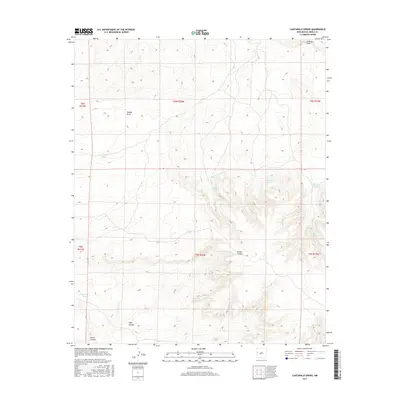
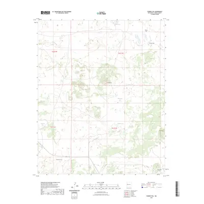
1961 Cottonwood Canyon
Cibola County, NM
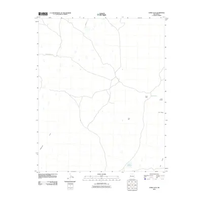
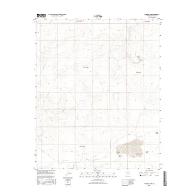
1961 Crow Point
Cibola County, NM
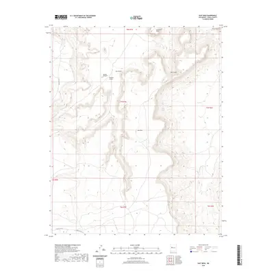
1961 East Mesa
Cibola County, NM
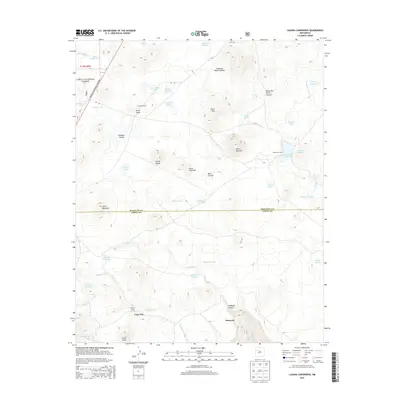
1961 Laguna Canoneros
Cibola County, NM
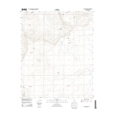
1961 Laguna Honda
Cibola County, NM
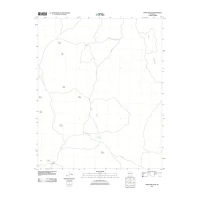
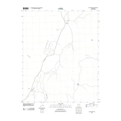
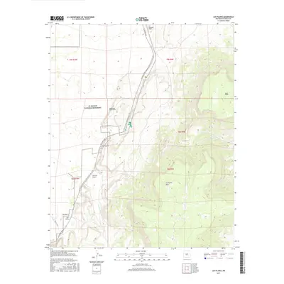
1961 Los Pilares
Cibola County, NM
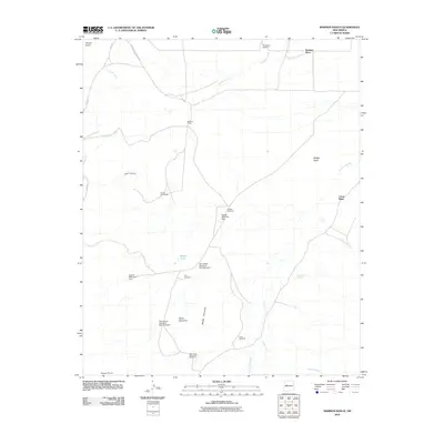
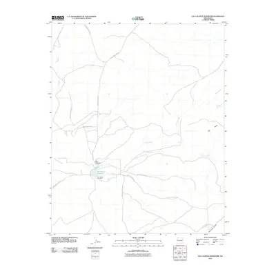
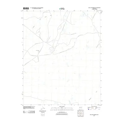
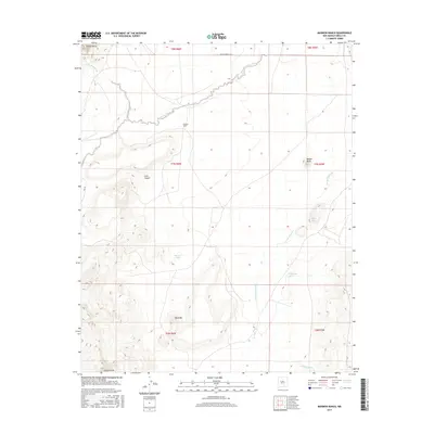
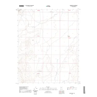
1961 Marmon Ranch
Cibola County, NM
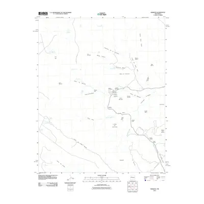
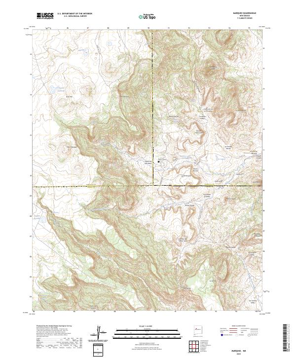
1961 Marquez
Cibola County, NM
1961 North Pasture
Cibola County, NM

1962 Cottonwood Canyon
Cibola County, NM
1963 Cerro Pelon
Cibola County, NM
1963 El Morro
Cibola County, NM
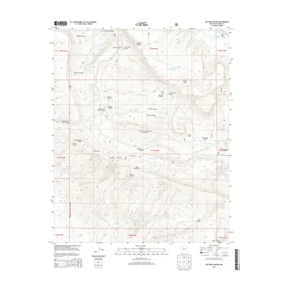
1963 Kettner Canyon
Cibola County, NM
1963 Pine Canyon
Cibola County, NM
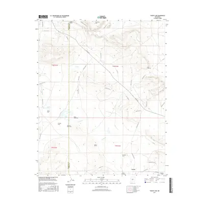
1963 Togeye Lake
Cibola County, NM
1964 Broom Mountain
Cibola County, NM
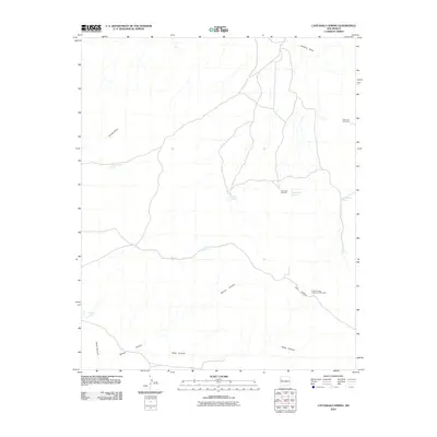
1964 Cebollita Peak
Cibola County, NM
1964 Cerro Del Oro
Cibola County, NM
1964 Chicken Mountain
Cibola County, NM
1964 Mecate Meadow
Cibola County, NM
1964 Sand Canyon
Cibola County, NM
1967 Cerro Alto
Cibola County, NM
1967 Cerro Brillante
Cibola County, NM
1967 Cerro Hueco
Cibola County, NM
1967 Cerro Pomo
Cibola County, NM

1967 Chimney Hill
Cibola County, NM
1967 Goat Hill
Cibola County, NM
1967 Ice Caves
Cibola County, NM
1967 Ice Caves SE
Cibola County, NM
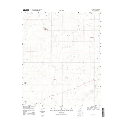
1967 La Rendija
Cibola County, NM
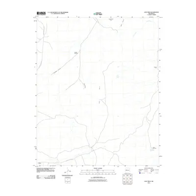
1967 Nicoll Lake
Cibola County, NM
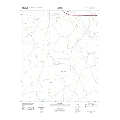
1967 Red Lake Mission
Cibola County, NM
1967 York Ranch
Cibola County, NM
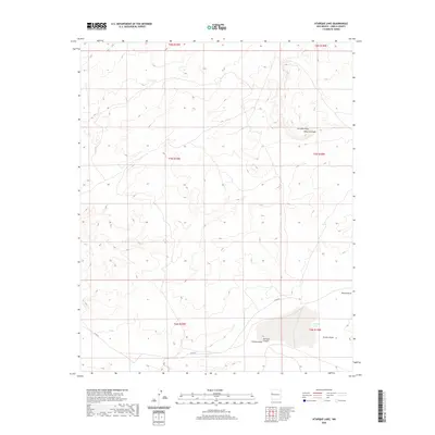
1972 Atarque Lake
Cibola County, NM
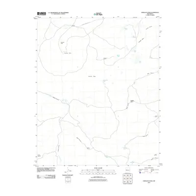
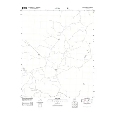
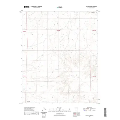
1972 Cantaralo Spring
Cibola County, NM
1972 Mesita De Yeso
Cibola County, NM
1972 Ojo Caliente Reservoir
Cibola County, NM

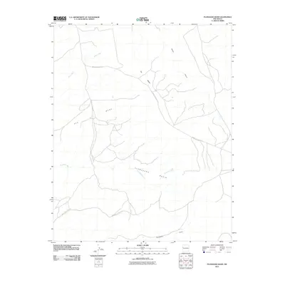
1972 Plumasano Basin
Cibola County, NM
1972 Rincon Hondo
Cibola County, NM

1972 Shoemaker Canyon
Cibola County, NM

1972 Shoemaker Canyon SE
Cibola County, NM
1972 The Dyke
Cibola County, NM

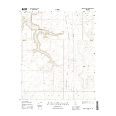
1972 Upper Galestina Canyon
Cibola County, NM
1972 Venadito Camp
Cibola County, NM

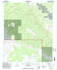
1978 Acoma Pueblo
Cibola County, NM
1995 Arrosa Ranch
Cibola County, NM
1995 Cerro Hueco
Cibola County, NM

1995 Cerro Pelon
Cibola County, NM

1995 Cottonwood Canyon
Cibola County, NM

1995 Dos Lomas
Cibola County, NM

1995 El Morro
Cibola County, NM
1995 Ice Caves
Cibola County, NM

1995 Kettner Canyon
Cibola County, NM

1995 Laguna Canoneros
Cibola County, NM
1995 Lobo Springs
Cibola County, NM
1995 Mount Sedgwick
Cibola County, NM

1995 Paxton Springs
Cibola County, NM

1995 Pine Canyon
Cibola County, NM

1995 Post Office Flat
Cibola County, NM
1995 Valle Largo
Cibola County, NM
2010 Acoma Pueblo
Cibola County, NM
2010 Arch Mesa
Cibola County, NM
2010 Atarque Lake
Cibola County, NM
2010 Blue Mesa
Cibola County, NM
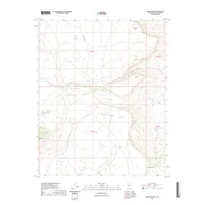
2010 Broom Mountain
Cibola County, NM
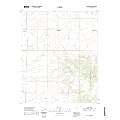
2010 Cantaralo Spring
Cibola County, NM
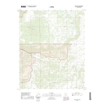
2010 Cebollita Peak
Cibola County, NM
2010 Cerro Alto
Cibola County, NM
2010 Cerro Brillante
Cibola County, NM
2010 Cerro Del Oro
Cibola County, NM
2010 Cerro Pomo
Cibola County, NM
2010 Cerro Verde
Cibola County, NM
2010 Chicken Mountain
Cibola County, NM
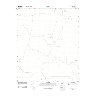
2010 Chimney Hill
Cibola County, NM
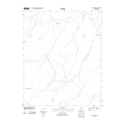
2010 Crow Point
Cibola County, NM
2010 Dough Mountain
Cibola County, NM
2010 East Mesa
Cibola County, NM
2010 Grants SE
Cibola County, NM
2010 Ice Caves SE
Cibola County, NM
2010 Laguna Honda
Cibola County, NM
2010 La Rendija
Cibola County, NM
2010 Los Pilares
Cibola County, NM
2010 Marmon Ranch
Cibola County, NM
2010 Marquez
Cibola County, NM
2010 McCartys
Cibola County, NM
2010 Mecate Meadow
Cibola County, NM
2010 Mesa Gigante
Cibola County, NM
2010 Mesita De Yeso
Cibola County, NM
2010 Nicoll Lake
Cibola County, NM
2010 North Pasture
Cibola County, NM
2010 Ojo Caliente Reservoir
Cibola County, NM
2010 Plumasano Basin
Cibola County, NM
2010 Red Lake Mission
Cibola County, NM
2010 Rincon Hondo
Cibola County, NM
2010 Sand Canyon
Cibola County, NM
2010 Shoemaker Canyon
Cibola County, NM
2010 Shoemaker Canyon SE
Cibola County, NM
2010 South Butte
Cibola County, NM
2010 The Dyke
Cibola County, NM
2010 Togeye Lake
Cibola County, NM

2010 Upper Galestina Canyon
Cibola County, NM
2010 Venadito Camp
Cibola County, NM
2010 York Ranch
Cibola County, NM
2011 Arrosa Ranch
Cibola County, NM
2011 Cerro Hueco
Cibola County, NM
2011 Cerro Pelon
Cibola County, NM
2011 Cottonwood Canyon
Cibola County, NM
2011 Dos Lomas
Cibola County, NM
2011 El Morro
Cibola County, NM
2011 Goat Hill
Cibola County, NM
2011 Ice Caves
Cibola County, NM
2011 Kettner Canyon
Cibola County, NM
2011 Laguna Canoneros
Cibola County, NM
2011 Lobo Springs
Cibola County, NM
2011 Mount Sedgwick
Cibola County, NM
2011 Paxton Springs
Cibola County, NM
2011 Pine Canyon
Cibola County, NM
2011 Post Office Flat
Cibola County, NM
2011 Valle Largo
Cibola County, NM
2013 Acoma Pueblo
Cibola County, NM
2013 Arch Mesa
Cibola County, NM
2013 Arrosa Ranch
Cibola County, NM
2013 Atarque Lake
Cibola County, NM
2013 Blue Mesa
Cibola County, NM
2013 Broom Mountain
Cibola County, NM
2013 Cantaralo Spring
Cibola County, NM
2013 Cebollita Peak
Cibola County, NM
2013 Cerro Alto
Cibola County, NM
2013 Cerro Brillante
Cibola County, NM
2013 Cerro Del Oro
Cibola County, NM
2013 Cerro Hueco
Cibola County, NM
2013 Cerro Pelon
Cibola County, NM
2013 Cerro Pomo
Cibola County, NM
2013 Cerro Verde
Cibola County, NM
2013 Chicken Mountain
Cibola County, NM
2013 Chimney Hill
Cibola County, NM
2013 Cottonwood Canyon
Cibola County, NM
2013 Crow Point
Cibola County, NM
2013 Dos Lomas
Cibola County, NM
2013 Dough Mountain
Cibola County, NM
2013 East Mesa
Cibola County, NM
2013 El Morro
Cibola County, NM
2013 Goat Hill
Cibola County, NM
2013 Grants SE
Cibola County, NM
2013 Ice Caves
Cibola County, NM
2013 Ice Caves SE
Cibola County, NM
2013 Kettner Canyon
Cibola County, NM
2013 Laguna Canoneros
Cibola County, NM
2013 Laguna Honda
Cibola County, NM
2013 La Rendija
Cibola County, NM
2013 Lobo Springs
Cibola County, NM
2013 Los Pilares
Cibola County, NM
2013 Marmon Ranch
Cibola County, NM
2013 Marquez
Cibola County, NM
2013 McCartys
Cibola County, NM
2013 Mecate Meadow
Cibola County, NM
2013 Mesa Gigante
Cibola County, NM
2013 Mesita De Yeso
Cibola County, NM
2013 Mount Sedgwick
Cibola County, NM
2013 Nicoll Lake
Cibola County, NM
2013 North Pasture
Cibola County, NM
2013 Ojo Caliente Reservoir
Cibola County, NM
2013 Paxton Springs
Cibola County, NM
2013 Pine Canyon
Cibola County, NM
2013 Plumasano Basin
Cibola County, NM
2013 Post Office Flat
Cibola County, NM
2013 Red Lake Mission
Cibola County, NM
2013 Rincon Hondo
Cibola County, NM
2013 Sand Canyon
Cibola County, NM
2013 Shoemaker Canyon
Cibola County, NM
2013 Shoemaker Canyon SE
Cibola County, NM
2013 South Butte
Cibola County, NM
2013 The Dyke
Cibola County, NM
2013 Togeye Lake
Cibola County, NM

2013 Upper Galestina Canyon
Cibola County, NM
2013 Valle Largo
Cibola County, NM
2013 Venadito Camp
Cibola County, NM
2013 York Ranch
Cibola County, NM
2017 Acoma Pueblo
Cibola County, NM
2017 Arch Mesa
Cibola County, NM
2017 Arrosa Ranch
Cibola County, NM
2017 Atarque Lake
Cibola County, NM
2017 Blue Mesa
Cibola County, NM
2017 Broom Mountain
Cibola County, NM
2017 Cantaralo Spring
Cibola County, NM
2017 Cebollita Peak
Cibola County, NM
2017 Cerro Alto
Cibola County, NM
2017 Cerro Brillante
Cibola County, NM
2017 Cerro Del Oro
Cibola County, NM
2017 Cerro Hueco
Cibola County, NM
2017 Cerro Pelon
Cibola County, NM
2017 Cerro Pomo
Cibola County, NM
2017 Cerro Verde
Cibola County, NM
2017 Chicken Mountain
Cibola County, NM
2017 Chimney Hill
Cibola County, NM
2017 Cottonwood Canyon
Cibola County, NM
2017 Crow Point
Cibola County, NM
2017 Dos Lomas
Cibola County, NM
2017 Dough Mountain
Cibola County, NM
2017 East Mesa
Cibola County, NM
2017 El Morro
Cibola County, NM
2017 Goat Hill
Cibola County, NM

2017 Grants SE
Cibola County, NM
2017 Ice Caves
Cibola County, NM
2017 Ice Caves SE
Cibola County, NM
2017 Kettner Canyon
Cibola County, NM
2017 Laguna Canoneros
Cibola County, NM
2017 Laguna Honda
Cibola County, NM
2017 La Rendija
Cibola County, NM
2017 Lobo Springs
Cibola County, NM
2017 Los Pilares
Cibola County, NM
2017 Marmon Ranch
Cibola County, NM
2017 Marquez
Cibola County, NM
2017 McCartys
Cibola County, NM
2017 Mecate Meadow
Cibola County, NM
2017 Mesa Gigante
Cibola County, NM
2017 Mesita De Yeso
Cibola County, NM
2017 Mount Sedgwick
Cibola County, NM
2017 Nicoll Lake
Cibola County, NM
2017 North Pasture
Cibola County, NM
2017 Ojo Caliente Reservoir
Cibola County, NM
2017 Paxton Springs
Cibola County, NM
2017 Pine Canyon
Cibola County, NM
2017 Plumasano Basin
Cibola County, NM
2017 Post Office Flat
Cibola County, NM
2017 Red Lake Mission
Cibola County, NM
2017 Rincon Hondo
Cibola County, NM
2017 Sand Canyon
Cibola County, NM
2017 Shoemaker Canyon
Cibola County, NM
2017 Shoemaker Canyon SE
Cibola County, NM
2017 South Butte
Cibola County, NM
2017 The Dyke
Cibola County, NM
2017 Togeye Lake
Cibola County, NM
2017 Upper Galestina Canyon
Cibola County, NM
2017 Valle Largo
Cibola County, NM
2017 Venadito Camp
Cibola County, NM
2017 York Ranch
Cibola County, NM
2020 Acoma Pueblo
Cibola County, NM
2020 Arch Mesa
Cibola County, NM
2020 Arrosa Ranch
Cibola County, NM
2020 Atarque Lake
Cibola County, NM
2020 Blue Mesa
Cibola County, NM
2020 Broom Mountain
Cibola County, NM
2020 Cantaralo Spring
Cibola County, NM
2020 Cebollita Peak
Cibola County, NM
2020 Cerro Alto
Cibola County, NM
2020 Cerro Brillante
Cibola County, NM
2020 Cerro Del Oro
Cibola County, NM
2020 Cerro Hueco
Cibola County, NM
2020 Cerro Pelon
Cibola County, NM
2020 Cerro Pomo
Cibola County, NM
2020 Cerro Verde
Cibola County, NM
2020 Chicken Mountain
Cibola County, NM
2020 Chimney Hill
Cibola County, NM
2020 Cottonwood Canyon
Cibola County, NM
2020 Crow Point
Cibola County, NM
2020 Dos Lomas
Cibola County, NM
2020 Dough Mountain
Cibola County, NM
2020 East Mesa
Cibola County, NM
2020 El Morro
Cibola County, NM
2020 Goat Hill
Cibola County, NM
2020 Grants SE
Cibola County, NM
2020 Ice Caves
Cibola County, NM
2020 Ice Caves SE
Cibola County, NM
2020 Kettner Canyon
Cibola County, NM
2020 Laguna Canoneros
Cibola County, NM
2020 Laguna Honda
Cibola County, NM
2020 La Rendija
Cibola County, NM
2020 Lobo Springs
Cibola County, NM
2020 Los Pilares
Cibola County, NM
2020 Marmon Ranch
Cibola County, NM
2020 Marquez
Cibola County, NM
2020 McCartys
Cibola County, NM
2020 Mecate Meadow
Cibola County, NM
2020 Mesa Gigante
Cibola County, NM
2020 Mesita De Yeso
Cibola County, NM
2020 Mount Sedgwick
Cibola County, NM
2020 Nicoll Lake
Cibola County, NM
2020 North Pasture
Cibola County, NM
2020 Ojo Caliente Reservoir
Cibola County, NM
2020 Paxton Springs
Cibola County, NM
2020 Pine Canyon
Cibola County, NM
2020 Plumasano Basin
Cibola County, NM
2020 Post Office Flat
Cibola County, NM
2020 Red Lake Mission
Cibola County, NM
2020 Rincon Hondo
Cibola County, NM
2020 Sand Canyon
Cibola County, NM
2020 Shoemaker Canyon
Cibola County, NM
2020 Shoemaker Canyon SE
Cibola County, NM
2020 South Butte
Cibola County, NM
2020 The Dyke
Cibola County, NM
2020 Togeye Lake
Cibola County, NM
2020 Upper Galestina Canyon
Cibola County, NM
2020 Valle Largo
Cibola County, NM
2020 Venadito Camp
Cibola County, NM
2020 York Ranch
Cibola County, NM
2023 Acoma Pueblo
Cibola County, NM
2023 Arch Mesa
Cibola County, NM
2023 Arrosa Ranch
Cibola County, NM
2023 Atarque Lake
Cibola County, NM
2023 Blue Mesa
Cibola County, NM
2023 Broom Mountain
Cibola County, NM
2023 Cantaralo Spring
Cibola County, NM
2023 Cebollita Peak
Cibola County, NM
2023 Cerro Alto
Cibola County, NM
2023 Cerro Brillante
Cibola County, NM
2023 Cerro Del Oro
Cibola County, NM
2023 Cerro Hueco
Cibola County, NM
2023 Cerro Pelon
Cibola County, NM
2023 Cerro Pomo
Cibola County, NM
2023 Cerro Verde
Cibola County, NM
2023 Chicken Mountain
Cibola County, NM
2023 Chimney Hill
Cibola County, NM
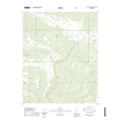
2023 Cottonwood Canyon
Cibola County, NM
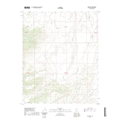
2023 Crow Point
Cibola County, NM
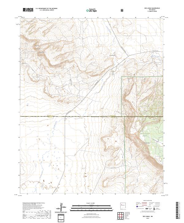
2023 Dos Lomas
Cibola County, NM
2023 Dough Mountain
Cibola County, NM
2023 East Mesa
Cibola County, NM
2023 El Morro
Cibola County, NM
2023 Goat Hill
Cibola County, NM
2023 Grants SE
Cibola County, NM
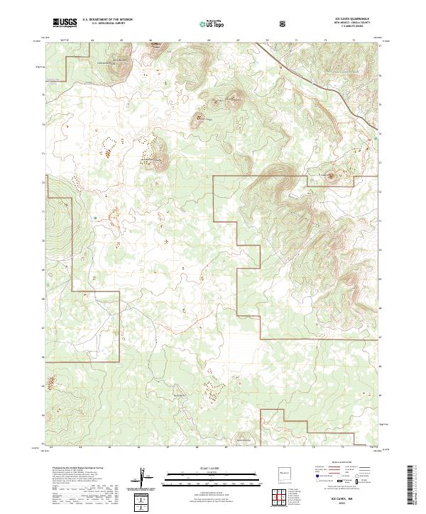
2023 Ice Caves
Cibola County, NM
2023 Ice Caves SE
Cibola County, NM
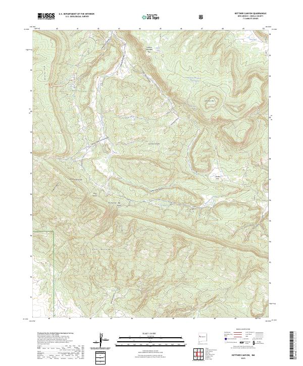
2023 Kettner Canyon
Cibola County, NM
2023 Laguna Canoneros
Cibola County, NM
2023 Laguna Honda
Cibola County, NM
2023 La Rendija
Cibola County, NM
2023 Lobo Springs
Cibola County, NM
2023 Los Pilares
Cibola County, NM
2023 Marmon Ranch
Cibola County, NM
2023 Marquez
Cibola County, NM
2023 McCartys
Cibola County, NM
2023 Mecate Meadow
Cibola County, NM
2023 Mesa Gigante
Cibola County, NM
2023 Mesita De Yeso
Cibola County, NM

2023 Mount Sedgwick
Cibola County, NM
2023 Nicoll Lake
Cibola County, NM
2023 North Pasture
Cibola County, NM
2023 Ojo Caliente Reservoir
Cibola County, NM
2023 Paxton Springs
Cibola County, NM
2023 Pine Canyon
Cibola County, NM
2023 Plumasano Basin
Cibola County, NM
2023 Post Office Flat
Cibola County, NM
2023 Red Lake Mission
Cibola County, NM
2023 Rincon Hondo
Cibola County, NM
2023 Sand Canyon
Cibola County, NM
2023 Shoemaker Canyon
Cibola County, NM
2023 Shoemaker Canyon SE
Cibola County, NM
2023 South Butte
Cibola County, NM
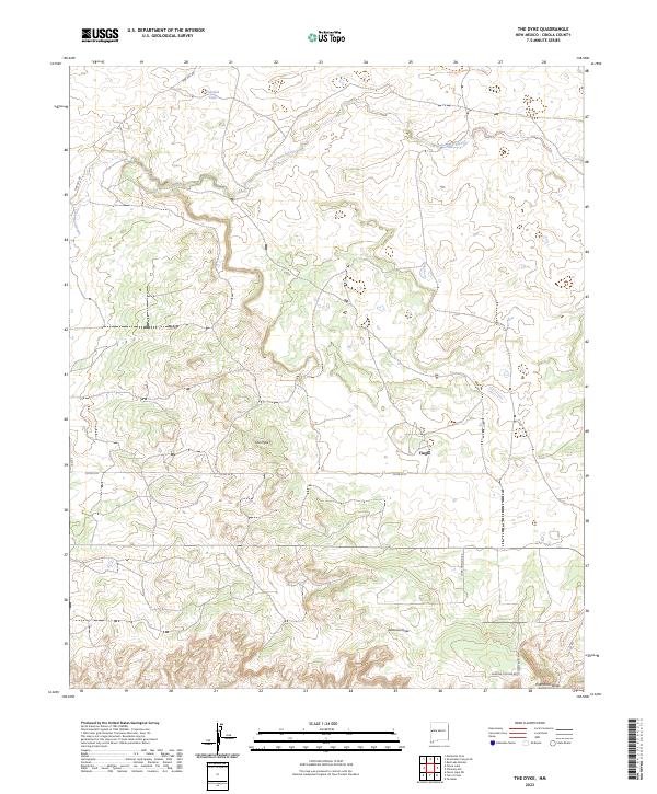
2023 The Dyke
Cibola County, NM
2023 Togeye Lake
Cibola County, NM
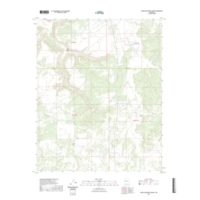
2023 Upper Galestina Canyon
Cibola County, NM
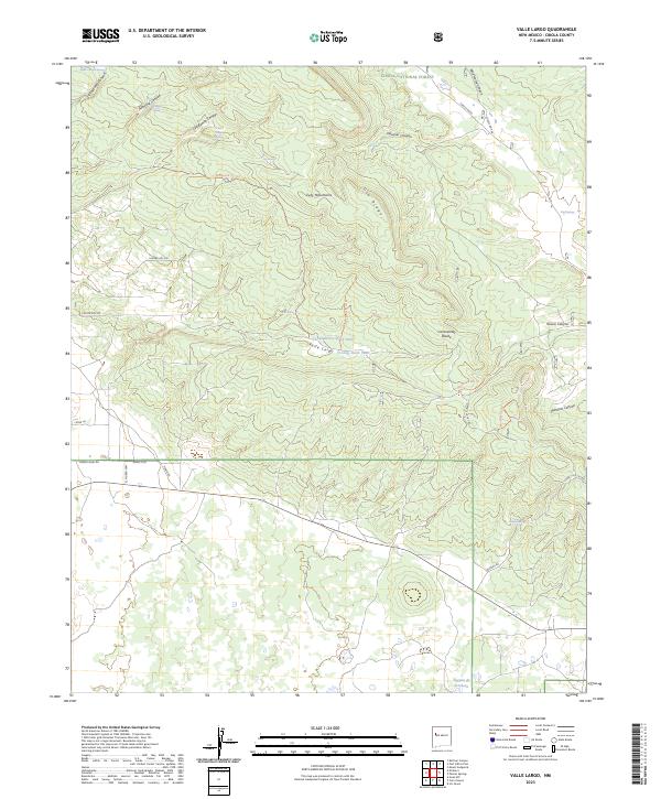
2023 Valle Largo
Cibola County, NM
2023 Venadito Camp
Cibola County, NM
2023 York Ranch
Cibola County, NM