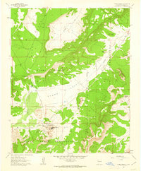
1961 Map of Acoma Pueblo
USGS Topo · Published 1963About this map
Acoma Pueblo serves as the focal point of this 1961 survey, documenting the ancient high-desert settlement and its immediate surroundings within the Acoma Pueblo Indian Reservation. The terrain is characterized by a series of dramatic mesas and standalone formations, most notably the legendary Mesa Encantada and the towering Acoma Rock. The mapping highlights a complex system of canyon drainages like Sand Canyon and intermittent water sources such as Acoma Springs and Dripping Springs, which have historically sustained life in this arid environment.
Find a feature on this map
21 named features on this map. Tap any name to fly to it.
Don’t see what you’re looking for? This feature index may not catch every label — zoom into the map to look around manually.
Map Details
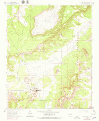
Editions of this 1961 Acoma Pueblo Map
2 editions found
Other maps of this area

1883 · Mt. Taylor
USGS Topo · 1:250,000

1886 · Mt. Taylor
USGS Topo · 1:250,000

1892 · Mt. Taylor
USGS Topo · 1:250,000

1899 · Mt. Taylor
USGS Topo · 1:250,000

1917 · Cerro Verde
USGS Topo · 1:125,000

1917 · Broom Mountain
USGS Topo · 1:125,000

1954 · Socorro
USGS Topo · 1:250,000

1957 · Laguna
USGS Topo · 1:24,000

1957 · Mc Cartys
USGS Topo · 1:24,000

1957 · Cubero
USGS Topo · 1:24,000