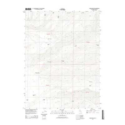
2015 Map of Acorn Hollow
USGS Topo · Published 2015About this map
Speegle Ridge and Red Ridge dominate the northern terrain of this landscape where the upper reaches of the Sacramento Valley begin to transition into higher ground. The area is defined by a dense network of seasonal and perennial drainages, including the headwaters of Mill Cr and the winding course of Deer Creek. Settlement is sparse, represented by named locations such as Favinger Place and the topographical basin of Acorn Hollow.
Find a feature on this map
36 named features on this map. Tap any name to fly to it.
Don’t see what you’re looking for? This feature index may not catch every label — zoom into the map to look around manually.
Map Details
Editions of this 2015 Acorn Hollow Map
This is the sole edition of this map. No revisions or reprints were ever made.
Other maps of this area

1886 · Lassen Peak
USGS Topo · 1:250,000

1890 · Red Bluff
USGS Topo · 1:250,000

1891 · Chico
USGS Topo · 1:125,000

1892 · Lassen Peak
USGS Topo · 1:250,000

1893 · Chico
USGS Topo · 1:125,000

1894 · Lassen Peak
USGS Topo · 1:250,000

1894 · Red Bluff
USGS Topo · 1:250,000

1895 · Chico
USGS Topo · 1:125,000

1904 · Vina
USGS Topo · 1:62,500

1905 · Tehama
USGS Topo · 1:62,500