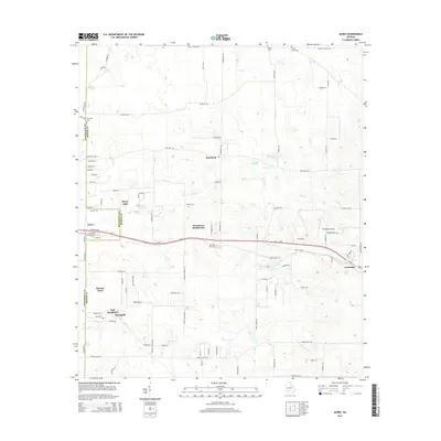
2014 Map of Acree
USGS Topo · Published 2014About this map
The boundary between Dougherty Co and Worth Co defines this corner of Georgia, where traditional farming communities and modern residential developments meet. The settlement of Acree sits at a critical junction where the railroad corridor aligns with Sylvester Rd, serving as a western anchor for several smaller communities including Mossy Oaks, Woodcrest Subdivision, and Thomas Acres. Further east, the area transition into more open land around Gammage, punctuated by the infrastructure of the Sylvester Airport.
Find a feature on this map
94 named features on this map. Tap any name to fly to it.
Don’t see what you’re looking for? This feature index may not catch every label — zoom into the map to look around manually.
Map Details
Editions of this 2014 Acree Map
This is the sole edition of this map. No revisions or reprints were ever made.
Other maps of this area

1953 · Dothan
USGS Topo · 1:250,000

1953 · Waycross
USGS Topo · 1:250,000

1954 · Dothan
USGS Topo · 1:250,000

1955 · Dothan
USGS Topo · 1:250,000

1956 · Albany East
USGS Topo · 1:24,000

1956 · Baconton
USGS Topo · 1:62,500

1956 · Sylvester
USGS Topo · 1:62,500

1956 · Doerun
USGS Topo · 1:62,500

1956 · Albany
USGS Topo · 1:62,500

1958 · Waycross
USGS Topo · 1:250,000