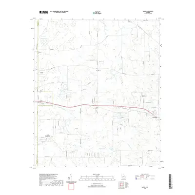
2020 Map of Acree
USGS Topo · Published 2020About this map
Acree and East Dougherty sit at the western edge of this agricultural and pond-dotted landscape along the border of Dougherty and Worth Counties. The terrain is defined by a network of small water bodies like Yellow Pond and Bonnie Pond, while Piney Woods Cr and Mill Cr drain the central and northern reaches. The settlement pattern is largely rural, with clusters of family-named roads and several community landmarks including Bethel Cem and Morning Star Cem situated near the rural crossroads of Red Rock.
Find a feature on this map
86 named features on this map. Tap any name to fly to it.
Don’t see what you’re looking for? This feature index may not catch every label — zoom into the map to look around manually.
Map Details
Editions of this 2020 Acree Map
This is the sole edition of this map. No revisions or reprints were ever made.
Other maps of this area

1953 · Dothan
USGS Topo · 1:250,000

1953 · Waycross
USGS Topo · 1:250,000

1954 · Dothan
USGS Topo · 1:250,000

1955 · Dothan
USGS Topo · 1:250,000

1956 · Albany East
USGS Topo · 1:24,000

1956 · Baconton
USGS Topo · 1:62,500

1956 · Sylvester
USGS Topo · 1:62,500

1956 · Doerun
USGS Topo · 1:62,500

1956 · Albany
USGS Topo · 1:62,500

1958 · Waycross
USGS Topo · 1:250,000