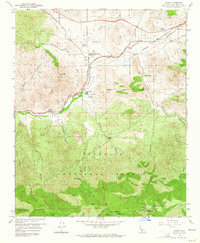
1959 Map of Acton
USGS Topo · Published 1964About this map
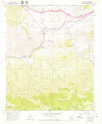
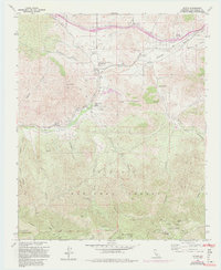
Acton sits at a geographic crossroads in the high desert of Los Angeles County, where the Southern Pacific railroad and the winding Soledad Canyon serve as the primary conduits through the northern Sierra Pelona Mountains. This late 1950s survey documents a landscape of transition, from the small settlements at Ravenna and Paris to the agricultural presence of Blum Ranch. Local community life is anchored by the Acton Community Cemetery and the Soledad-Agua Dulce Union Sch, reflecting the established rural identity of the area before modern expansion.
Find a feature on this map
50 named features on this map. Tap any name to fly to it.
Don’t see what you’re looking for? This feature index may not catch every label — zoom into the map to look around manually.
Map Details
Editions of this 1959 Acton Map
6 editions found
Other maps of this area

1900 · Tujunga
USGS Topo · 1:62,500

1900 · Fernando
USGS Topo · 1:62,500

1901 · Southern California Sheet No. 1
USGS Topo · 1:250,000

1904 · Southern California Sheet No. 1
USGS Topo · 1:250,000

1915 · Elizabeth Lake
USGS Topo · 1:125,000

1917 · Elizabeth Lake
USGS Topo · 1:125,000

1930 · Ravenna
USGS Topo · 1:24,000

1932 · Red Rover
USGS Topo · 1:24,000

1932 · Palmdale
USGS Topo · 1:24,000
1934 · Ravenna
USGS Topo · 1:24,000