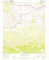
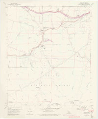
1959 Map of Acton
USGS Topo · Published 1979About this map
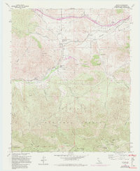
Acton sits at a critical junction of mountain canyons and high desert transit, where the Southern Pacific railroad follows the natural corridor of Soledad Canyon. This 1950s survey, updated in the 1970s, captures a transition from traditional ranching and mining toward more modern infrastructure, as seen with the Antelope Valley Freeway cutting through the northern reaches. The area is characterized by family-named landscape features like Jones Canyon and Hubbard Canyon, alongside small settlements such as Paris and Ravenna. To the south, the landscape rises into the Angeles National Forest, marked by rugged heights like Mount Gleason and the isolated Messenger Flats. Researchers will find significant local landmarks including the Acton Community Cemetery and the Soledad-Agua Dulce Union Sch, reflecting the community's mid-century civic footprint.
Find a feature on this map
47 named features on this map. Tap any name to fly to it.
Don’t see what you’re looking for? This feature index may not catch every label — zoom into the map to look around manually.
Map Details
Editions of this 1959 Acton Map
6 editions found
Other maps of this area

1900 · Tujunga
USGS Topo · 1:62,500

1900 · Fernando
USGS Topo · 1:62,500

1901 · Southern California Sheet No. 1
USGS Topo · 1:250,000

1904 · Southern California Sheet No. 1
USGS Topo · 1:250,000

1915 · Elizabeth Lake
USGS Topo · 1:125,000

1917 · Elizabeth Lake
USGS Topo · 1:125,000

1930 · Ravenna
USGS Topo · 1:24,000

1932 · Red Rover
USGS Topo · 1:24,000

1932 · Palmdale
USGS Topo · 1:24,000
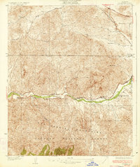
1934 · Ravenna
USGS Topo · 1:24,000