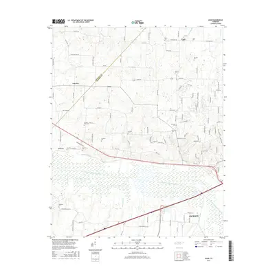
2016 Map of Adair
USGS Topo · Published 2016About this map
The South Fork Forked Deer River dominates the central landscape of this West Tennessee territory, creating a wide riparian corridor of wetlands and tributaries. Along the northern bank and the dividing line of Crockett Co and Madison Co, small rural settlements like Adair and Gum Flat sit among a dense network of local roads. The map reveals a high concentration of small family and community burial grounds, including the Randolph Family Cem, De Loach Cem, and Bethlehem Cem, which serve as vital markers for genealogical research in this agricultural region. To the south, the edge of Jackson marks the transition toward more modern industrial development, while the northern reaches maintain a character defined by scattered hamlets like Windy City and creeks such as Cypress Cr and Beech Cr.
Find a feature on this map
106 named features on this map. Tap any name to fly to it.
Don’t see what you’re looking for? This feature index may not catch every label — zoom into the map to look around manually.
Map Details
Editions of this 2016 Adair Map
This is the sole edition of this map. No revisions or reprints were ever made.
Other maps of this area

1950 · Jackson South
USGS Topo · 1:24,000

1950 · Jackson North
USGS Topo · 1:24,000

1951 · Jackson North
USGS Topo · 1:24,000

1956 · Blytheville
USGS Topo · 1:250,000

1959 · Medina
USGS Topo · 1:24,000

1959 · Blytheville
USGS Topo · 1:250,000

1959 · Bells
USGS Topo · 1:24,000

1959 · Westover
USGS Topo · 1:24,000

1959 · Denmark
USGS Topo · 1:24,000

1959 · Adair
USGS Topo · 1:24,000