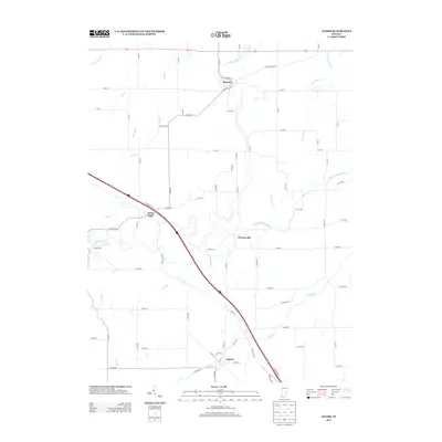
2013 Map of Adams
USGS Topo · Published 2013About this map
The Flatrock River and its numerous tributaries, including the Little Flatrock River and Hurricane Cr, dominate this agricultural landscape in southeastern Indiana. The map centers on a series of small, traditional crossroads settlements that have served as local hubs for generations. Moscow sits near the northern boundary where the river bends, while Saint Omer and Adams are positioned along the primary southeast-northwest transit corridor that cuts through the township.
Find a feature on this map
66 named features on this map. Tap any name to fly to it.
Don’t see what you’re looking for? This feature index may not catch every label — zoom into the map to look around manually.
Map Details
Editions of this 2013 Adams Map
This is the sole edition of this map. No revisions or reprints were ever made.
Other maps of this area

1942 · Columbus
USGS Topo · 1:125,000

1953 · Cincinnati
USGS Topo · 1:250,000

1956 · Waldron
USGS Topo · 1:24,000

1956 · Rays Crossing
USGS Topo · 1:24,000

1957 · Cincinnati
USGS Topo · 1:250,000

1958 · Greensburg
USGS Topo · 1:24,000

1958 · Forest Hill
USGS Topo · 1:24,000

1958 · Hartsville
USGS Topo · 1:24,000

1959 · Milroy
USGS Topo · 1:24,000

1959 · Rushville
USGS Topo · 1:24,000