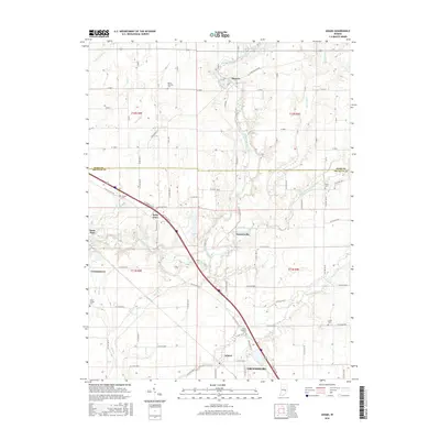
2016 Map of Adams
USGS Topo · Published 2016About this map
Saint Omer and the neighboring hamlets of Downeyville and Moscow define the rural character of this landscape along the Rush and Decatur County line. The terrain is marked by the winding courses of the Flatrock River and Little Flatrock River, which cut through the agricultural grid. Local genealogy is well-represented through several dispersed burial grounds, including the Arnold Cem near Saint Omer and the Mount Hebron Cem further south. The transportation network is anchored by Old US Hwy 421, which runs diagonally toward Greensburg, bypassing smaller settlements like Adams. This survey provides a clear view of the mid-20th-century transition from strictly river-oriented settlements to those linked by highway corridors, while preserving the location of family-named sites like the Mount Morrison Cem.
Find a feature on this map
53 named features on this map. Tap any name to fly to it.
Don’t see what you’re looking for? This feature index may not catch every label — zoom into the map to look around manually.
Map Details
Editions of this 2016 Adams Map
This is the sole edition of this map. No revisions or reprints were ever made.
Other maps of this area

1942 · Columbus
USGS Topo · 1:125,000

1953 · Cincinnati
USGS Topo · 1:250,000

1956 · Waldron
USGS Topo · 1:24,000

1956 · Rays Crossing
USGS Topo · 1:24,000

1957 · Cincinnati
USGS Topo · 1:250,000

1958 · Greensburg
USGS Topo · 1:24,000

1958 · Forest Hill
USGS Topo · 1:24,000

1958 · Hartsville
USGS Topo · 1:24,000

1959 · Milroy
USGS Topo · 1:24,000

1959 · Rushville
USGS Topo · 1:24,000