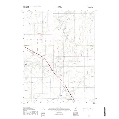
2019 Map of Adams
USGS Topo · Published 2019About this map
Moscow and Saint Omer anchor a landscape defined by the branching waterways of the Flatrock River and its various forks. This 2019 survey captures the rural character of the Rush and Decatur county line, where small crossroads like Downeyville and Adams are interconnected by an extensive grid of numbered county roads. The terrain is marked by numerous family and community burial grounds, including the Mount Morrison Cem in the north and Shiloh Cem in the southeast, providing a clear spatial record for genealogical research.
Find a feature on this map
83 named features on this map. Tap any name to fly to it.
Don’t see what you’re looking for? This feature index may not catch every label — zoom into the map to look around manually.
Map Details
Editions of this 2019 Adams Map
This is the sole edition of this map. No revisions or reprints were ever made.
Other maps of this area

1942 · Columbus
USGS Topo · 1:125,000

1953 · Cincinnati
USGS Topo · 1:250,000

1956 · Waldron
USGS Topo · 1:24,000

1956 · Rays Crossing
USGS Topo · 1:24,000

1957 · Cincinnati
USGS Topo · 1:250,000

1958 · Greensburg
USGS Topo · 1:24,000

1958 · Forest Hill
USGS Topo · 1:24,000

1958 · Hartsville
USGS Topo · 1:24,000

1959 · Milroy
USGS Topo · 1:24,000

1959 · Rushville
USGS Topo · 1:24,000