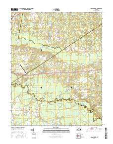
2016 Map of Adams Grove
USGS Topo · Published 2016About this map
The Meherrin River winds along the southern border of this landscape, marking the boundary between Greensville and Southampton counties. In this coastal plain environment, the terrain is defined by complex drainage networks, including Otterdam Swamp, Applewhite Swamp, and Bellyache Swamp. These wetlands dictate the placement of local infrastructure, where roads such as Southampton Pkwy and Grizzard Rd skirt the edges of low-lying areas. Small crossroads and rail-influenced settlements like Adams Grove, Green Plain, and James River Junction punctuate the agricultural and timber lands.
Find a feature on this map
48 named features on this map. Tap any name to fly to it.
Don’t see what you’re looking for? This feature index may not catch every label — zoom into the map to look around manually.
Map Details
Editions of this 2016 Adams Grove Map
This is the sole edition of this map. No revisions or reprints were ever made.
Other maps of this area

1919 · Jarratt
USGS Topo · 1:62,500

1919 · Mc Kenney
USGS Topo · 1:48,000

1919 · Emporia
USGS Topo · 1:62,500

1919 · Arringdale
USGS Topo · 1:48,000

1920 · Arringdale
USGS Topo · 1:62,500

1921 · Mc Kenney
USGS Topo · 1:62,500

1942 · Arringdale
USGS Topo · 1:62,500

1942 · Emporia
USGS Topo · 1:62,500

1943 · Mc Kenney
USGS Topo · 1:62,500

1951 · Jarratt
USGS Topo · 1:62,500