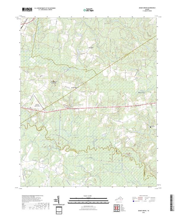
2022 Map of Adams Grove
USGS Topo · Published 2022About this map
The Meherrin River and its labyrinthine tributaries define the wet, lowland landscape at the convergence of Southampton, Greensville, and Sussex counties. This modern topographic survey illustrates a rural Virginia economy centered on widely spaced settlements like Grizzard and Green Plain, interconnected by a network of local roads such as Brickyard Rd and Ivey Tract Rd. The persistence of these small communities alongside extensive wetlands like Bellyache Swamp and Otterdam Swamp highlights the historical reliance on higher ground for habitation in this part of the Tidewater region.
Find a feature on this map
44 named features on this map. Tap any name to fly to it.
Don’t see what you’re looking for? This feature index may not catch every label — zoom into the map to look around manually.
Map Details
Editions of this 2022 Adams Grove Map
This is the sole edition of this map. No revisions or reprints were ever made.
Other maps of this area

1919 · Jarratt
USGS Topo · 1:62,500

1919 · Mc Kenney
USGS Topo · 1:48,000

1919 · Emporia
USGS Topo · 1:62,500

1919 · Arringdale
USGS Topo · 1:48,000

1920 · Arringdale
USGS Topo · 1:62,500

1921 · Mc Kenney
USGS Topo · 1:62,500

1942 · Arringdale
USGS Topo · 1:62,500

1942 · Emporia
USGS Topo · 1:62,500

1943 · Mc Kenney
USGS Topo · 1:62,500

1951 · Jarratt
USGS Topo · 1:62,500