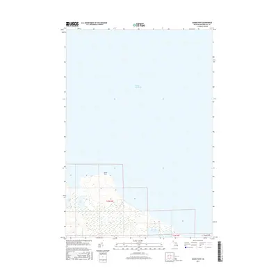
2017 Map of Adams Point
USGS Topo · Published 2017About this map
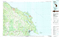
Adams Point projects into the expansive waters of Lake Huron on this coastal portion of Presque Isle County. The shoreline is characterized by a series of distinct water bodies that sit just inland from the Great Lake, including the larger Swan Lake and Big Trout Lake, along with the smaller Little Lake and Little Trout Lake. These features suggest a landscape of coastal wetlands and ridges typical of the northern Michigan lakeside. The Swan River provides a key drainage point for the interior basins as they move toward the lake. This survey focuses on the northern edge of the Michigan mainland within townships T35N R6E and T34N R6E, documenting the natural geography of the lakefront before it gives way to the open water of the Huron basin.
Find a feature on this map
10 named features on this map. Tap any name to fly to it.
Don’t see what you’re looking for? This feature index may not catch every label — zoom into the map to look around manually.
Map Details
Editions of this 2017 Adams Point Map
This is the sole edition of this map. No revisions or reprints were ever made.
Other maps of this area

1954 · Alpena
USGS Topo · 1:250,000

1957 · Alpena
USGS Topo · 1:250,000

1958 · Alpena
USGS Topo · 1:250,000

1969 · Alpena
USGS Topo · 1:250,000

1971 · Rogers City
USGS Topo · 1:24,000

1971 · Metz
USGS Topo · 1:24,000
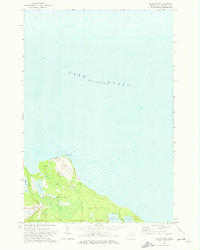
1971 · Adams Point
USGS Topo · 1:24,000
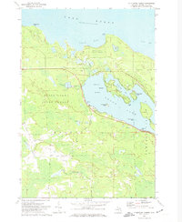
1971 · Thompsons Harbor
USGS Topo · 1:24,000
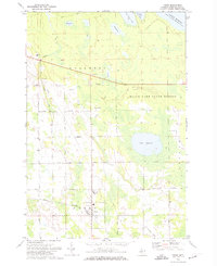
1971 · Posen
USGS Topo · 1:24,000
1984 · Alpena
USGS Topo · 1:100,000