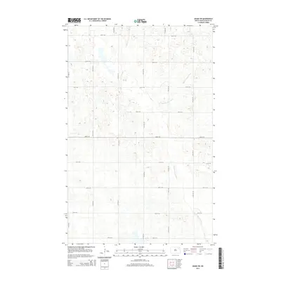
2014 Map of Adams SW
USGS Topo · Published 2014About this map
The Middle Br Forest River meanders across this corner of Walsh County, defining the drainage of an otherwise systematically ordered prairie landscape. Typical of the Red River Valley's agricultural transition, the territory is divided by a rigid grid of gravel roads and section lines, including 111th Ave NE and 114th Ave NE running north to south, intersected by east-west routes like 66th St NE and 58th St NE. This 2014 survey documents the persistence of small-scale water features and depressions that dot the terrain between the cultivated fields. The absence of concentrated town centers emphasizes the purely rural, agrarian character of the region during the early 21st century, where the river remains the primary natural landmark amidst the geometry of the Public Land Survey System.
Find a feature on this map
16 named features on this map. Tap any name to fly to it.
Don’t see what you’re looking for? This feature index may not catch every label — zoom into the map to look around manually.
Map Details
Editions of this 2014 Adams SW Map
This is the sole edition of this map. No revisions or reprints were ever made.
Other maps of this area

1953 · Devils Lake
USGS Topo · 1:250,000

1956 · Devils Lake
USGS Topo · 1:250,000

1971 · Whitman
USGS Topo · 1:24,000

1971 · Brocket
USGS Topo · 1:24,000

1971 · Pelto
USGS Topo · 1:24,000

1972 · Adams
USGS Topo · 1:24,000

1972 · Adams SW
USGS Topo · 1:24,000

1972 · Fairdale
USGS Topo · 1:24,000

1972 · Edmore NE
USGS Topo · 1:24,000

1972 · Lawton
USGS Topo · 1:24,000