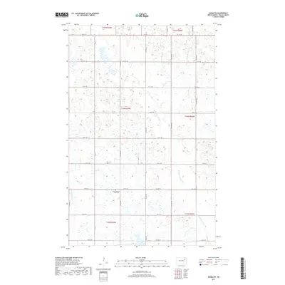
2017 Map of Adams SW
USGS Topo · Published 2017About this map
Saint Catherines of Lomice Cem and Pecka Cem stand as quiet landmarks within this rural section of Walsh County, documenting the late 19th and early 20th-century settlement patterns of eastern North Dakota. The landscape is defined by the winding course of the Middle Br Forest River, which meanders through a grid of section lines and gravel roads. Local transit is facilitated by routes like Co Rd 22A and the Prairie Trl, while the surrounding terrain is marked by numerous small wetlands and depressions characteristic of the regional prairie pothole system. The map provides a detailed view of the township and range divisions, including t156n r59w and t156n r58w, illustrating the enduring influence of the Public Land Survey System on the modern agricultural layout.
Find a feature on this map
20 named features on this map. Tap any name to fly to it.
Don’t see what you’re looking for? This feature index may not catch every label — zoom into the map to look around manually.
Map Details
Editions of this 2017 Adams SW Map
This is the sole edition of this map. No revisions or reprints were ever made.
Other maps of this area

1953 · Devils Lake
USGS Topo · 1:250,000

1956 · Devils Lake
USGS Topo · 1:250,000

1971 · Whitman
USGS Topo · 1:24,000

1971 · Brocket
USGS Topo · 1:24,000

1971 · Pelto
USGS Topo · 1:24,000

1972 · Adams
USGS Topo · 1:24,000

1972 · Adams SW
USGS Topo · 1:24,000

1972 · Fairdale
USGS Topo · 1:24,000

1972 · Edmore NE
USGS Topo · 1:24,000

1972 · Lawton
USGS Topo · 1:24,000