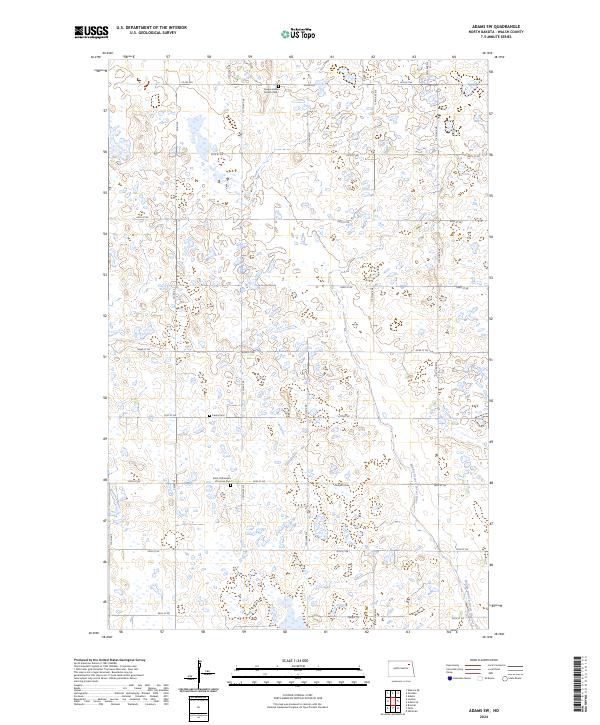
2024 Map of Adams SW
USGS Topo · Published 2024About this map
Vang Lutheran Church Cem stands as a focal point in the northern reaches of this Walsh County landscape, reflecting the enduring presence of early community settlements. The terrain is defined by its agricultural and conservation character, notably preserving habitat within the Walsh County Waterfowl Production Area and the WC Wpa. These protected zones are interspersed with a dense network of local roads such as Co Rd 22A and 66th St NE, which trace the section lines of the Public Land Survey System. Genealogists will find significant value in the distribution of religious and burial sites across the township lines, including Pecka Cem and Saint Catherine's of Lomice Cem. The hydrology is anchored by the Middle Branch Forest River, which meanders through the eastern portion of the map, while the Prairie Trl provides a transit corridor through the southern sections.
Find a feature on this map
24 named features on this map. Tap any name to fly to it.
Don’t see what you’re looking for? This feature index may not catch every label — zoom into the map to look around manually.
Map Details
Editions of this 2024 Adams SW Map
This is the sole edition of this map. No revisions or reprints were ever made.
Other maps of this area

1953 · Devils Lake
USGS Topo · 1:250,000

1956 · Devils Lake
USGS Topo · 1:250,000

1971 · Whitman
USGS Topo · 1:24,000

1971 · Brocket
USGS Topo · 1:24,000

1971 · Pelto
USGS Topo · 1:24,000

1972 · Adams
USGS Topo · 1:24,000

1972 · Adams SW
USGS Topo · 1:24,000

1972 · Fairdale
USGS Topo · 1:24,000

1972 · Edmore NE
USGS Topo · 1:24,000

1972 · Lawton
USGS Topo · 1:24,000