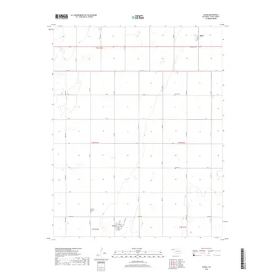
2018 Map of Adams
USGS Topo · Published 2018About this map
Adams and Baker anchor this high plains landscape in the Oklahoma Panhandle, where the section-line road network defines the pattern of life and travel. The town of Adams is laid out with its primary thoroughfares of Broadway and Railroad St, reflecting a history tied to transportation and regional transit. Across this territory, local heritage is preserved in quiet landmarks such as the Krimmer Mennonite Cem, along with Happy Cem and Denman Cem. This 2018 survey detail provides an essential record of modern Texas County, showing how established highways like Co Hwy 15 and Co Hwy 19 connect these agricultural settlements. The map illustrates the persistent structure of the Public Land Survey System, with township and range lines forming the backbone of the contemporary rural geography.
Find a feature on this map
66 named features on this map. Tap any name to fly to it.
Don’t see what you’re looking for? This feature index may not catch every label — zoom into the map to look around manually.
Map Details
Editions of this 2018 Adams Map
This is the sole edition of this map. No revisions or reprints were ever made.
Other maps of this area

1954 · Perryton
USGS Topo · 1:250,000

1958 · Perryton
USGS Topo · 1:250,000

1967 · Hooker
USGS Topo · 1:24,000

1967 · Adams
USGS Topo · 1:24,000

1967 · Hooker NW
USGS Topo · 1:24,000

1967 · Tyrone
USGS Topo · 1:24,000

1968 · Optima Dam
USGS Topo · 1:24,000

1968 · Hardesty NE
USGS Topo · 1:24,000

1973 · Little Ponderosa
USGS Topo · 1:24,000

1973 · Red Horse Creek
USGS Topo · 1:24,000