1967 Map of Adams
USGS Topo · Published 1968About this map
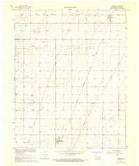
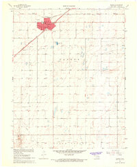
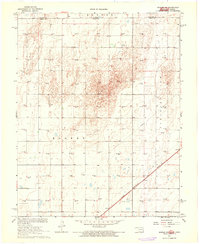
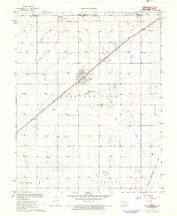
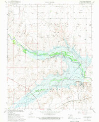
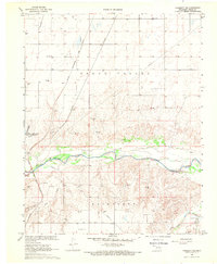
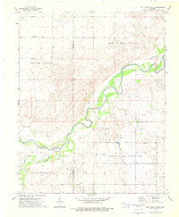
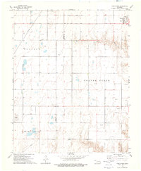
The settlement of Adams sits at the heart of this Panhandle landscape, where the agricultural expanse meets an active energy and transportation corridor in the late 1960s. The Chicago Rock Island and Pacific railroad cuts diagonally across the terrain, passing north toward Baker and serving as a lifeline for the region's grain and industrial transit. This period reflects a land heavily utilized for both its surface and subsurface wealth, evidenced by an extensive network of pipelines and numerous Gas Wells scattered throughout the Hooker and Beaver districts.
Find a feature on this map
18 named features on this map. Tap any name to fly to it.
Don’t see what you’re looking for? This feature index may not catch every label — zoom into the map to look around manually.
Map Details
Editions of this 1967 Adams Map
This is the sole edition of this map. No revisions or reprints were ever made.
Other maps of this area

1954 · Perryton
USGS Topo · 1:250,000

1958 · Perryton
USGS Topo · 1:250,000
1967 · Hooker
USGS Topo · 1:24,000
1967 · Hooker NW
USGS Topo · 1:24,000
1967 · Tyrone
USGS Topo · 1:24,000
1968 · Optima Dam
USGS Topo · 1:24,000
1968 · Hardesty NE
USGS Topo · 1:24,000
1973 · Little Ponderosa
USGS Topo · 1:24,000
1973 · Red Horse Creek
USGS Topo · 1:24,000
1973 · Turpin West
USGS Topo · 1:24,000