2022 Map of Adams
USGS Topo · Published 2022About this map
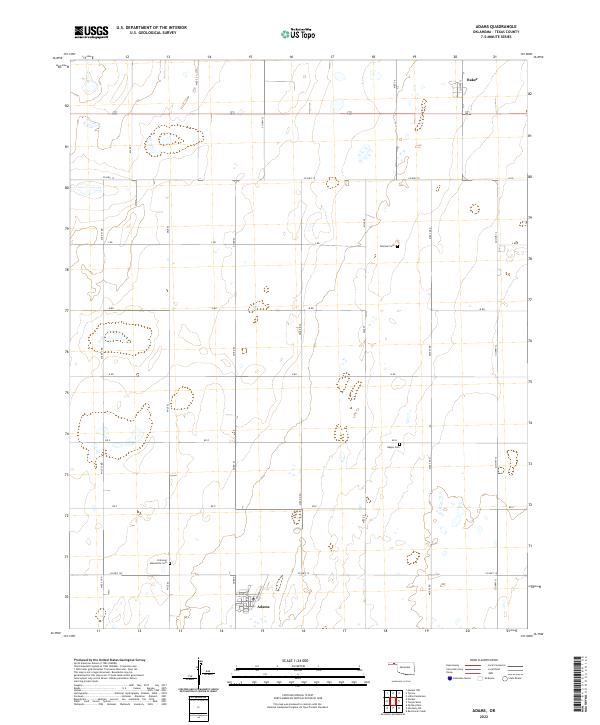
Adams stands as a primary focal point in this portion of Texas County, centered around Railroad St and Broadway. The layout of the region reveals a landscape defined by an orderly grid of section lines and township boundaries such as t4n r18e and t5n r19e, which organize the agricultural expanse. The presence of specialized sites like the Krimmer Mennonite Cem near Co Hwy 19 provides evidence of the specific community groups and denominational heritage that shaped this part of the Oklahoma Panhandle.
Find a feature on this map
31 named features on this map. Tap any name to fly to it.
Don’t see what you’re looking for? This feature index may not catch every label — zoom into the map to look around manually.
Map Details
Editions of this 2022 Adams Map
This is the sole edition of this map. No revisions or reprints were ever made.