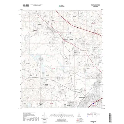
2020 Map of Adamsville
USGS Topo · Published 2020About this map
The industrial corridor northwest of Birmingham is defined by a dense network of mining towns and railroad junctions as of 2020. Settlements such as Mulga Mine, Docena, and Edgewater anchor the landscape, while numerous cemeteries like Village Falls Cem and the George Washington Memorial Gardens Cem provide significant data points for local genealogy. The map traces the winding paths of Village Creek and Fivemile Creek as they cut through the terrain of Glasgow Ridge and Opossum Valley. To the west, the presence of Bonham Airport and the distinct neighborhoods of Forestdale and Hillview show the continued growth and residential expansion in Jefferson County. Intersections like Crockard Junction and Edgewater Junction highlight the area's legacy as a transit hub for the region's mineral and coal resources.
Find a feature on this map
76 named features on this map. Tap any name to fly to it.
Don’t see what you’re looking for? This feature index may not catch every label — zoom into the map to look around manually.
Map Details
Editions of this 2020 Adamsville Map
This is the sole edition of this map. No revisions or reprints were ever made.
Other maps of this area

1889 · Birmingham
USGS Topo · 1:125,000

1890 · Bessemer
USGS Topo · 1:125,000

1892 · Birmingham
USGS Topo · 1:125,000

1892 · Bessemer
USGS Topo · 1:125,000

1893 · Jasper
USGS Topo · 1:125,000

1895 · Birmingham
USGS Topo · 1:125,000

1899 · Brookwood
USGS Topo · 1:125,000

1904 · Birmingham Coal District
USGS Topo · 1:62,500

1905 · Bessemer Iron District
USGS Topo · 1:62,500

1906 · Birmingham Special
USGS Topo · 1:62,500