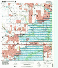
1995 Map of Addicks
USGS Topo · Published 1999About this map
Large-scale flood control infrastructure dominates this 1990s West Houston landscape, where the massive containment basins of the Addicks Reservoir and Barker Reservoir meet. The map documents a period of rapid suburban transition, as residential subdivisions push against the Houston Corporate Boundaries and the edges of the reservoir lands. Notable for local historians is the persistence of older landmarks like the Baker Cem and the settlement of Addicks, which sits near the junction of major drainage systems and transport routes.
Find a feature on this map
29 named features on this map. Tap any name to fly to it.
Don’t see what you’re looking for? This feature index may not catch every label — zoom into the map to look around manually.
Map Details
Editions of this 1995 Addicks Map
This is the sole edition of this map. No revisions or reprints were ever made.
Other maps of this area

1915 · Alief
USGS Topo · 1:24,000

1915 · Cypress
USGS Topo · 1:24,000

1915 · Katy
USGS Topo · 1:24,000

1915 · Addicks
USGS Topo · 1:24,000

1915 · Hillendahl
USGS Topo · 1:24,000

1915 · Clodine
USGS Topo · 1:24,000

1916 · Satsuma
USGS Topo · 1:24,000

1916 · Swanson
USGS Topo · 1:24,000

1918 · Cypress
USGS Topo · 1:31,680

1918 · Addicks
USGS Topo · 1:31,680