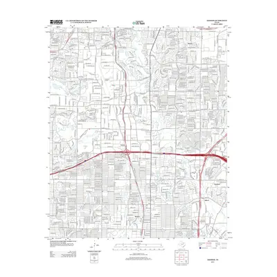
2012 Map of Addison
USGS Topo · Published 2012About this map
Addison Airport and a dense network of suburban development define this North Dallas landscape in the early 21st century. The map documents the high-density infrastructure of a growing metropolitan corridor, where major arteries like Trinity Mills Rd and the Dallas North Tollway intersect residential neighborhoods. Smaller, older communities such as Renner, Inwood, and Meaders are visible, their historic identities largely integrated into the surrounding urban fabric. Educational centers like Brookhaven Coll and the Univ Of Phoenix-Dallas Ft Worth Campus reflect the region's mid-century and modern expansion.
Find a feature on this map
385 named features on this map. Tap any name to fly to it.
Don’t see what you’re looking for? This feature index may not catch every label — zoom into the map to look around manually.
Map Details
Editions of this 2012 Addison Map
This is the sole edition of this map. No revisions or reprints were ever made.
Other maps of this area

1891 · Dallas
USGS Topo · 1:125,000

1893 · Dallas
USGS Topo · 1:125,000

1925 · Mc Kinney 3-c
USGS Topo · 1:48,000

1925 · Dallas 2-b
USGS Topo · 1:48,000

1929 · Frisco
USGS Topo · 1:62,500

1929 · McKinney
USGS Topo · 1:62,500

1931 · Carrollton
USGS Topo · 1:62,500

1954 · Dallas
USGS Topo · 1:250,000

1954 · Sherman
USGS Topo · 1:250,000

1957 · White Rock Lake
USGS Topo · 1:24,000