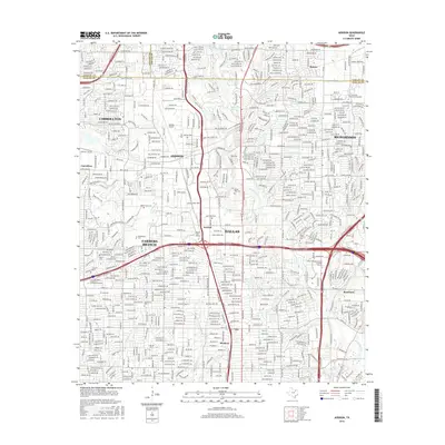
2016 Map of Addison
USGS Topo · Published 2016About this map
The Dallas North Tollway and Lyndon B Johnson Fwy serve as the modern spines for this heavily developed corridor north of Dallas. The map reveals the dense suburban growth of Addison, Carrollton, and Farmers Branch, where commercial centers and residential blocks have largely overtaken the once-rural landscape. Despite the urban intensity, earlier markers of the area's history remain, such as Marsh Cem and White Rock Cem, alongside smaller nodes like Meaders and Renner.
Find a feature on this map
38 named features on this map. Tap any name to fly to it.
Don’t see what you’re looking for? This feature index may not catch every label — zoom into the map to look around manually.
Map Details
Editions of this 2016 Addison Map
This is the sole edition of this map. No revisions or reprints were ever made.
Other maps of this area

1891 · Dallas
USGS Topo · 1:125,000

1893 · Dallas
USGS Topo · 1:125,000

1925 · Mc Kinney 3-c
USGS Topo · 1:48,000

1925 · Dallas 2-b
USGS Topo · 1:48,000

1929 · Frisco
USGS Topo · 1:62,500

1929 · McKinney
USGS Topo · 1:62,500

1931 · Carrollton
USGS Topo · 1:62,500

1954 · Dallas
USGS Topo · 1:250,000

1954 · Sherman
USGS Topo · 1:250,000

1957 · White Rock Lake
USGS Topo · 1:24,000