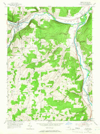
1953 Map of Addison
USGS Topo · Published 1966About this map
The Canisteo River and Tioga River converge near the northern edge of this Steuben County landscape, shaping a valley where the Erie RR and New York Central RR once established critical transport corridors. In the early 1950s, the village of Addison serves as a local hub at the junction of the main river and Tuscarora Creek. The map documents a rural society deeply rooted in its hills and hollows, evidenced by a dense network of country schools such as Orr Hill Sch, School No 7, and the curiously named Liberty Pole Sch.
Find a feature on this map
39 named features on this map. Tap any name to fly to it.
Don’t see what you’re looking for? This feature index may not catch every label — zoom into the map to look around manually.
Map Details
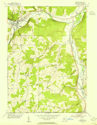
Editions of this 1953 Addison Map
2 editions found
Other maps of this area

1900 · Tioga
USGS Topo · 1:62,500

1900 · Elkland
USGS Topo · 1:62,500

1902 · Tioga
USGS Topo · 1:62,500

1914 · Corning
USGS Topo · 1:62,500

1924 · Woodhull
USGS Topo · 1:48,000

1926 · Woodhull
USGS Topo · 1:62,500

1944 · Woodhull
USGS Topo · 1:62,500

1944 · Corning
USGS Topo · 1:62,500

1950 · Elmira
USGS Topo · 1:250,000

1953 · Campbell
USGS Topo · 1:24,000