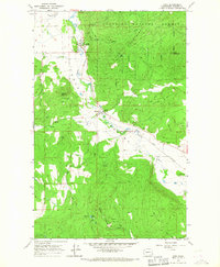
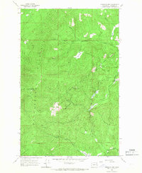
1965 Map of Addy
USGS Topo · Published 1967About this map
Colville Valley forms a prominent agricultural and industrial corridor through Stevens County in the mid-1960s, anchored by the settlement of Addy. The landscape is a study in resource extraction and infrastructure, where the Great Northern railroad parallels the Colville River, supporting local industry via the Addy Substation and various riverside operations. The surrounding terrain rises sharply into the Iron Mountains and Gold Hill, territory largely contained within the Colville National Forest. Genealogists and local historians will find significant detail regarding early mining and quarrying efforts, with numerous prospects and established sites like the Liberty Mine, Alice Mine, and Checops Mine dotting the foothills. Water sources including Stranger Creek, Blue Creek, and several springs suggest a reliance on the valley's natural drainage for both irrigation and the small settlements of the era.
Find a feature on this map
33 named features on this map. Tap any name to fly to it.
Don’t see what you’re looking for? This feature index may not catch every label — zoom into the map to look around manually.
Map Details
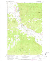
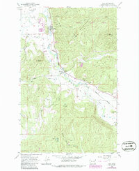
Editions of this 1965 Addy Map
3 editions found
Other maps of this area

1927 · Chewelah
USGS Topo · 1:125,000

1930 · Chewelah
USGS Topo · 1:125,000

1958 · Sandpoint
USGS Topo · 1:250,000

1963 · Sandpoint
USGS Topo · 1:250,000

1964 · Chewelah
USGS Topo · 1:24,000

1964 · Cliff Ridge
USGS Topo · 1:24,000

1964 · Chewelah Mtn
USGS Topo · 1:62,500

1965 · Waitts Lake
USGS Topo · 1:24,000
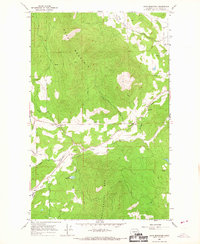
1965 · Dunn Mountain
USGS Topo · 1:24,000
1965 · Stensgar Mtn.
USGS Topo · 1:24,000