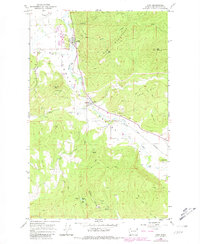
1965 Map of Addy
USGS Topo · Published 1981About this map
The Colville Valley serves as a vital corridor for industry and transport in this 1960s-era survey, where the Great Northern railroad tracks follow the winding course of the Colville River. The settlement of Addy stands as a primary hub, while the smaller community of Bluecreek sits further south near a Gaging Station. This landscape is defined by the extraction and transport of local resources, evidenced by the numerous Quarries and Prospects scattered throughout the foothills.
Find a feature on this map
28 named features on this map. Tap any name to fly to it.
Don’t see what you’re looking for? This feature index may not catch every label — zoom into the map to look around manually.
Map Details
Editions of this 1965 Addy Map
3 editions found
Other maps of this area

1927 · Chewelah
USGS Topo · 1:125,000

1930 · Chewelah
USGS Topo · 1:125,000

1958 · Sandpoint
USGS Topo · 1:250,000

1963 · Sandpoint
USGS Topo · 1:250,000

1964 · Chewelah
USGS Topo · 1:24,000

1964 · Cliff Ridge
USGS Topo · 1:24,000

1964 · Chewelah Mtn
USGS Topo · 1:62,500

1965 · Waitts Lake
USGS Topo · 1:24,000
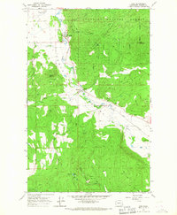
1965 · Addy
USGS Topo · 1:24,000
1965 · Dunn Mountain
USGS Topo · 1:24,000