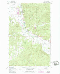
1965 Map of Addy
USGS Topo · Published 1986About this map
The Colville River flows through a landscape defined by extractive industry and the high peaks of the Iron Mountains in this mid-1960s survey. The settlement of Addy serves as a local hub along the Burlington Northern railroad, featuring extensive Tailings Ponds and a Gravel Pit that indicate the area's industrial activity. To the south, the community of Bluecreek marks another point of connection along the rail line and river valley.
Find a feature on this map
34 named features on this map. Tap any name to fly to it.
Don’t see what you’re looking for? This feature index may not catch every label — zoom into the map to look around manually.
Map Details
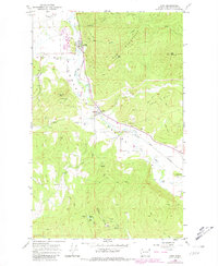
Editions of this 1965 Addy Map
3 editions found
Other maps of this area

1927 · Chewelah
USGS Topo · 1:125,000

1930 · Chewelah
USGS Topo · 1:125,000

1958 · Sandpoint
USGS Topo · 1:250,000

1963 · Sandpoint
USGS Topo · 1:250,000

1964 · Chewelah
USGS Topo · 1:24,000

1964 · Cliff Ridge
USGS Topo · 1:24,000

1964 · Chewelah Mtn
USGS Topo · 1:62,500

1965 · Waitts Lake
USGS Topo · 1:24,000
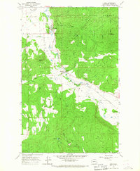
1965 · Addy
USGS Topo · 1:24,000
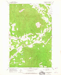
1965 · Dunn Mountain
USGS Topo · 1:24,000