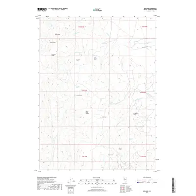
2018 Map of Adelaide
USGS Topo · Published 2018About this map
Sonoma Peak dominates the high-elevation landscape of the Sonoma Range in this modern survey of Humboldt County. The terrain is defined by a complex network of canyons and drainages, including Sonoma Canyon and Clearwater Canyon, which funnel seasonal runoff toward the desert floor. Named springs such as Reinhart Spring, Ridge Top Spring, and Harry Kaul Spring are critical water sources in this arid environment, often serving as the primary markers for ranching activity and backcountry navigation.
Find a feature on this map
37 named features on this map. Tap any name to fly to it.
Don’t see what you’re looking for? This feature index may not catch every label — zoom into the map to look around manually.
Map Details
Editions of this 2018 Adelaide Map
This is the sole edition of this map. No revisions or reprints were ever made.
Other maps of this area

1932 · Sonoma Range
USGS Topo · 1:250,000

1939 · Sonoma Range
USGS Topo · 1:250,000

1955 · Winnemucca
USGS Topo · 1:250,000

1958 · Winnemucca
USGS Topo · 1:250,000

1958 · Winnemucca
USGS Topo · 1:62,500

1961 · Leach Hot Springs
USGS Topo · 1:62,500

1962 · Winnemucca
USGS Topo · 1:250,000

1965 · Goldrun Creek
USGS Topo · 1:24,000
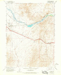
1965 · Golconda
USGS Topo · 1:24,000

1965 · Edna Mountain
USGS Topo · 1:62,500