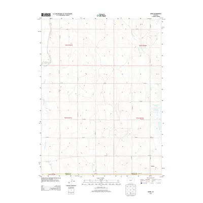
2013 Map of Adena
USGS Topo · Published 2013About this map
Adena stands as the primary settlement in this corner of the High Plains, situated at the boundary of Morgan and Adams counties. The landscape is defined by its seasonal hydrology, where ephemeral drainages like Bijou Creek and Sand Arroyo Creek cut through the terrain. These watercourses are vital to the area's agricultural identity, supported by localized water storage such as the Williams-McCreery Reservoir and Rosener Reservoir. For genealogists and local historians, the Adena Cem provides a specific point of reference for the families who settled this open country. The strictly grid-aligned road network, including CO Road A and CO Road 14, reflects the systematic land divisions that have organized this rural landscape since the early 20th century, connecting isolated homesteads to the small community hub.
Find a feature on this map
29 named features on this map. Tap any name to fly to it.
Don’t see what you’re looking for? This feature index may not catch every label — zoom into the map to look around manually.
Map Details
Editions of this 2013 Adena Map
This is the sole edition of this map. No revisions or reprints were ever made.
Other maps of this area

1950 · Wiggins
USGS Topo · 1:24,000

1950 · Hoyt
USGS Topo · 1:24,000

1951 · Hoyt
USGS Topo · 1:24,000

1951 · Leader
USGS Topo · 1:24,000

1953 · Denver
USGS Topo · 1:250,000

1954 · Limon
USGS Topo · 1:250,000

1954 · Sterling
USGS Topo · 1:250,000

1954 · Greeley
USGS Topo · 1:250,000

1957 · Denver
USGS Topo · 1:250,000

1957 · Limon
USGS Topo · 1:250,000