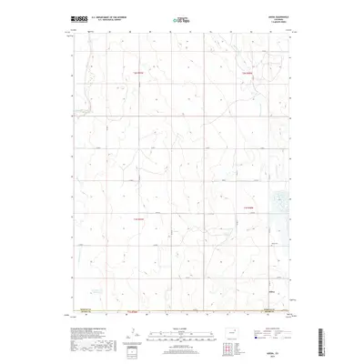
2019 Map of Adena
USGS Topo · Published 2019About this map
Adena sits within a landscape defined by an intricate network of intermittent drainages and section-line roads on the High Plains of eastern Colorado. This 2019 survey captures the quiet, rural character of the area near the border of Morgan and Adams County. The settlement and its nearby Adena Cem provide a focal point for genealogical research in a region dominated by agricultural tracts and ephemeral watercourses.
Find a feature on this map
26 named features on this map. Tap any name to fly to it.
Don’t see what you’re looking for? This feature index may not catch every label — zoom into the map to look around manually.
Map Details
Editions of this 2019 Adena Map
This is the sole edition of this map. No revisions or reprints were ever made.
Other maps of this area

1950 · Wiggins
USGS Topo · 1:24,000

1950 · Hoyt
USGS Topo · 1:24,000

1951 · Hoyt
USGS Topo · 1:24,000

1951 · Leader
USGS Topo · 1:24,000

1953 · Denver
USGS Topo · 1:250,000

1954 · Limon
USGS Topo · 1:250,000

1954 · Sterling
USGS Topo · 1:250,000

1954 · Greeley
USGS Topo · 1:250,000

1957 · Denver
USGS Topo · 1:250,000

1957 · Limon
USGS Topo · 1:250,000