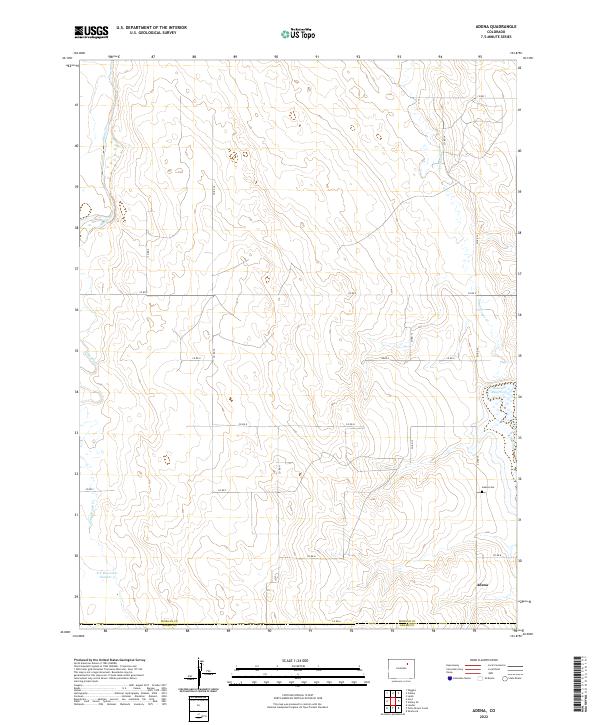
2022 Map of Adena
USGS Topo · Published 2022About this map
Adena stands as the primary settlement in this corner of Morgan County, where the plains are defined by an intricate network of seasonal drainage and water management. The landscape is marked by the presence of Adena Cem, a significant site for genealogists researching families from this agricultural region. The hydrologic pattern of the area is shaped by Bijou Creek and its various tributaries, such as Muddy Cr and Potty Brown Cr. Human intervention in this arid environment is evident through structures like Rosener Reservoir and D T Reservoir Number 3, which support local ranching and farming operations. A grid of county roads, including Co RD 14 and Co RD A, provides the infrastructure connecting these isolated features across the township boundaries of t1n r58w and t2n r59w.
Find a feature on this map
28 named features on this map. Tap any name to fly to it.
Don’t see what you’re looking for? This feature index may not catch every label — zoom into the map to look around manually.
Map Details
Editions of this 2022 Adena Map
This is the sole edition of this map. No revisions or reprints were ever made.
Other maps of this area

1950 · Wiggins
USGS Topo · 1:24,000

1950 · Hoyt
USGS Topo · 1:24,000

1951 · Hoyt
USGS Topo · 1:24,000

1951 · Leader
USGS Topo · 1:24,000

1953 · Denver
USGS Topo · 1:250,000

1954 · Limon
USGS Topo · 1:250,000

1954 · Sterling
USGS Topo · 1:250,000

1954 · Greeley
USGS Topo · 1:250,000

1957 · Denver
USGS Topo · 1:250,000

1957 · Limon
USGS Topo · 1:250,000