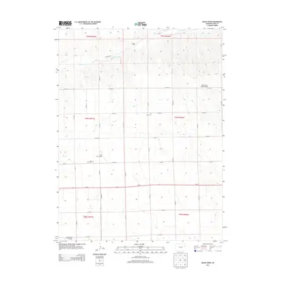
2013 Map of Adler Creek
USGS Topo · Published 2013About this map
The Arikaree River flows through the northern reaches of this Yuma County landscape, defining the topography of an area shaped by high plains agriculture and ranching. The presence of the Thompson Ranch near the river and the Idler Bro's Airport to the south reflects the region's reliance on both traditional land use and modern local transport. For genealogists, the map identifies specific family-linked sites such as the Idler Family Cem and the Olivet Cem, providing precise locations for historical research. The transition from the river basin into the North Fork Spring Canyon creates a varied terrain, while the southern portion of the map is anchored by the Royce Darling Memorial Golf Course. A strictly organized grid of county roads, including CO Road 10 and CO Road 7, facilitates movement across this rural stretch of Colorado.
Find a feature on this map
30 named features on this map. Tap any name to fly to it.
Don’t see what you’re looking for? This feature index may not catch every label — zoom into the map to look around manually.
Map Details
Editions of this 2013 Adler Creek Map
This is the sole edition of this map. No revisions or reprints were ever made.
Other maps of this area

1954 · Limon
USGS Topo · 1:250,000

1957 · Limon
USGS Topo · 1:250,000

1958 · Limon
USGS Topo · 1:250,000

1968 · Abarr SE
USGS Topo · 1:24,000

1968 · Vernon SW
USGS Topo · 1:24,000

1968 · Joes
USGS Topo · 1:24,000

1968 · Spring Canyon
USGS Topo · 1:24,000

1968 · Adler Creek
USGS Topo · 1:24,000

1969 · Idalia SW
USGS Topo · 1:24,000

1969 · Kirk
USGS Topo · 1:24,000