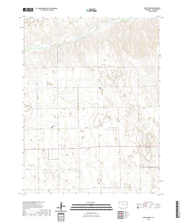
2022 Map of Adler Creek
USGS Topo · Published 2022About this map
The Arikaree River and its tributary, Adler Cr, define the drainage patterns of this high plains region in eastern Colorado. This 2022 survey documents a landscape structured by the Public Land Survey System, with the terrain divided into regular sections marked by a network of county roads like Co RD P and Co RD 6. For researchers focused on local family history and genealogy, the map identifies specific burial sites, including the Olivet Cem and the Idler Family Cem, located within the rural ranching and agricultural acreage. These sites offer a direct link to the pioneering families who settled the arid reaches of Yuma County, illustrating the persistence of small family holdings and rural communities away from larger population centers.
Find a feature on this map
24 named features on this map. Tap any name to fly to it.
Don’t see what you’re looking for? This feature index may not catch every label — zoom into the map to look around manually.
Map Details
Editions of this 2022 Adler Creek Map
This is the sole edition of this map. No revisions or reprints were ever made.
Other maps of this area

1954 · Limon
USGS Topo · 1:250,000

1957 · Limon
USGS Topo · 1:250,000

1958 · Limon
USGS Topo · 1:250,000

1968 · Abarr SE
USGS Topo · 1:24,000

1968 · Vernon SW
USGS Topo · 1:24,000

1968 · Joes
USGS Topo · 1:24,000

1968 · Spring Canyon
USGS Topo · 1:24,000

1968 · Adler Creek
USGS Topo · 1:24,000

1969 · Idalia SW
USGS Topo · 1:24,000

1969 · Kirk
USGS Topo · 1:24,000