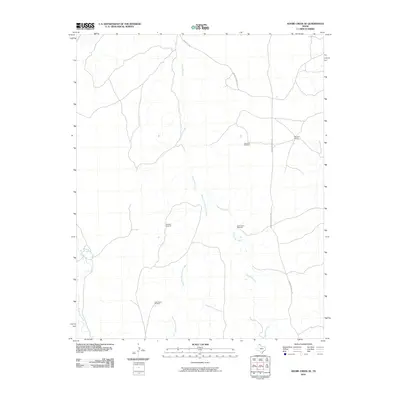
2010 Map of Adobe Creek SE
USGS Topo · Published 2010About this map
Reynolds Creek and its tributary, the West Fork Reynolds Creek, dominate the drainage of this Hutchinson County landscape. The area is characterized by a sparse ranching economy, centered on the Morrison Ranch in the northeastern quadrant. This specific survey provides a clear record of the essential infrastructure required for livestock operations in the Texas Panhandle, marking several functional landmarks including the Sand Hill Windmill, Highland Windmill, and Cake House Windmill. Road access is limited to thoroughfares such as Morrison Ranch Rd and Peacevale Rd, which navigate the terrain alongside White Deer Creek. The map documents the distribution of water sources and property hubs that have sustained local agriculture into the 21st century.
Find a feature on this map
10 named features on this map. Tap any name to fly to it.
Don’t see what you’re looking for? This feature index may not catch every label — zoom into the map to look around manually.
Map Details
Editions of this 2010 Adobe Creek SE Map
This is the sole edition of this map. No revisions or reprints were ever made.
Other maps of this area

1954 · Amarillo
USGS Topo · 1:250,000

1958 · Amarillo
USGS Topo · 1:250,000

1971 · Skellytown NW
USGS Topo · 1:24,000

1971 · Dry Creek South
USGS Topo · 1:24,000

1971 · Skellytown NE
USGS Topo · 1:24,000

1971 · Adobe Creek SW
USGS Topo · 1:24,000

1971 · Dry Creek North
USGS Topo · 1:24,000

1971 · Pampa NW
USGS Topo · 1:24,000

1971 · Garden Springs
USGS Topo · 1:24,000

1971 · Adobe Creek SE
USGS Topo · 1:24,000