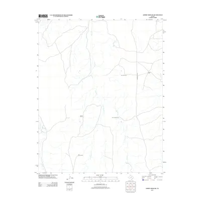
2012 Map of Adobe Creek SE
USGS Topo · Published 2012About this map
Morrison Ranch stands as a primary point of human activity in this corner of Hutchinson County, where the High Plains landscape is defined by the vital network of ranching infrastructure. The map reveals a land dependent on groundwater, evidenced by a series of named markers such as Sand Hill Windmill, Highland Windmill, and the Cake House Windmill. These features, along with North Camp Windmill, underscore the industrial requirements of livestock management in an arid environment. The drainage pattern is carved by several waterways, most notably Reynolds Cr and its W Fork Reynolds Cr, while White-Deer Cr cuts through the western edge of the quadrangle. Transportation is sparse, anchored by Morrison Ranch Rd, reflecting the remote and specialized nature of this Texas Panhandle territory in the early 21st century.
Find a feature on this map
9 named features on this map. Tap any name to fly to it.
Don’t see what you’re looking for? This feature index may not catch every label — zoom into the map to look around manually.
Map Details
Editions of this 2012 Adobe Creek SE Map
This is the sole edition of this map. No revisions or reprints were ever made.
Other maps of this area

1954 · Amarillo
USGS Topo · 1:250,000

1958 · Amarillo
USGS Topo · 1:250,000

1971 · Skellytown NW
USGS Topo · 1:24,000

1971 · Dry Creek South
USGS Topo · 1:24,000

1971 · Skellytown NE
USGS Topo · 1:24,000

1971 · Adobe Creek SW
USGS Topo · 1:24,000

1971 · Dry Creek North
USGS Topo · 1:24,000

1971 · Pampa NW
USGS Topo · 1:24,000

1971 · Garden Springs
USGS Topo · 1:24,000

1971 · Adobe Creek SE
USGS Topo · 1:24,000