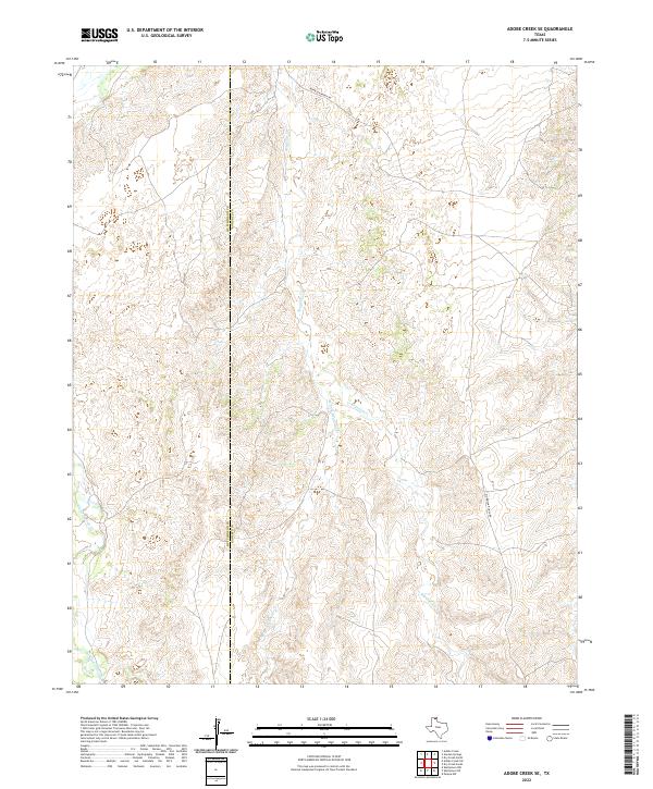
2022 Map of Adobe Creek SE
USGS Topo · Published 2022About this map
White Deer Creek and Reynolds Creek carve through the high plains of the Texas Panhandle along the jurisdictional boundary of Hutchinson and Roberts Counties. This topographic record highlights the intricate drainage patterns of the West Fork Reynolds Creek as it feeds into the larger regional watershed. The landscape is defined primarily by its watercourses and the sparse infrastructure of ranching life, exemplified by Morrison Ranch Road which provides the primary overland access through this section of Roberts County. The map captures the specialized geography of the Llano Estacado region, where subtle elevation changes and seasonal creek beds dictate the placement of local thoroughfares and ranch boundaries.
Find a feature on this map
5 named features on this map. Tap any name to fly to it.
Don’t see what you’re looking for? This feature index may not catch every label — zoom into the map to look around manually.
Map Details
Editions of this 2022 Adobe Creek SE Map
This is the sole edition of this map. No revisions or reprints were ever made.
Other maps of this area

1954 · Amarillo
USGS Topo · 1:250,000

1958 · Amarillo
USGS Topo · 1:250,000

1971 · Skellytown NW
USGS Topo · 1:24,000

1971 · Dry Creek South
USGS Topo · 1:24,000

1971 · Skellytown NE
USGS Topo · 1:24,000

1971 · Adobe Creek SW
USGS Topo · 1:24,000

1971 · Dry Creek North
USGS Topo · 1:24,000

1971 · Pampa NW
USGS Topo · 1:24,000

1971 · Garden Springs
USGS Topo · 1:24,000

1971 · Adobe Creek SE
USGS Topo · 1:24,000