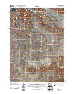
2011 Map of Adobe Flat
USGS Topo · Published 2011About this map
The Princeton Post Office stands as a primary point of infrastructure in this high-desert region of Harney County, illustrating the sparse settlement patterns typical of southeastern Oregon. The landscape is characterized by its volcanic and alluvial topography, featuring prominent landmarks such as Hatt Butte, Kegler Butte, and Davison Butte. These elevations overlook wide, flat basins including Adobe Flat and the Virginia Valley. Water management is central to the land's utility, evidenced by the Dracatos Reservoir and Dry Lake Reservoir, which collect seasonal runoff in an otherwise arid environment. Private holdings like Davies Ranch and the Carl Smith Ranch are connected by a network of rural routes, including Virginia Valley Rd and Anderson Valley Rd, reflecting the enduring ranching economy of the early twenty-first century.
Find a feature on this map
19 named features on this map. Tap any name to fly to it.
Don’t see what you’re looking for? This feature index may not catch every label — zoom into the map to look around manually.
Map Details
Editions of this 2011 Adobe Flat Map
This is the sole edition of this map. No revisions or reprints were ever made.
Other maps of this area

1955 · Burns
USGS Topo · 1:250,000

1958 · Burns
USGS Topo · 1:250,000

1959 · Burns
USGS Topo · 1:250,000

1960 · Crane
USGS Topo · 1:62,500

1967 · Happy Valley
USGS Topo · 1:24,000

1967 · Barton Lake
USGS Topo · 1:24,000

1967 · Diamond
USGS Topo · 1:24,000

1967 · Adobe Flat
USGS Topo · 1:24,000

1968 · Venator
USGS Topo · 1:62,500

1972 · Circle Bar
USGS Topo · 1:24,000