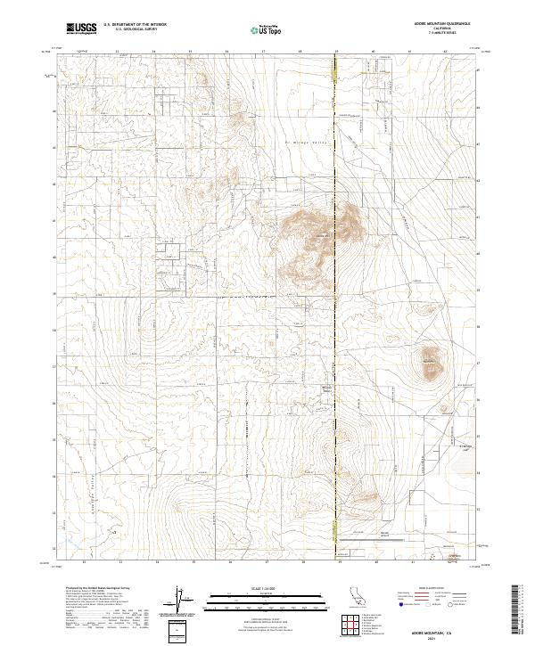
2021 Map of Adobe Mountain
USGS Topo · Published 2021About this map
El Mirage Valley serves as a prominent geographic feature where the high desert landscape meets the northern reaches of the Antelope Valley. This 2021 survey illustrates a sparse desert settlement pattern characterized by a rigid grid of residential streets such as Lancaster Blvd and Shadow Mountain Rd that cut across the dry terrain. The map captures the meeting of the Los Angeles Co and San Bernardino Co line, which divides the terrain near the prominent Adobe Mtn. Aviation and land use in this arid region are evidenced by the presence of Hansen Airport and the expansive dry bed of El Mirage Lake. From Nash Hill to the seasonal drainage of Eller Slough, the map documents the modern infrastructure of the western Mojave Desert and its relationship to the natural landforms.
Find a feature on this map
50 named features on this map. Tap any name to fly to it.
Don’t see what you’re looking for? This feature index may not catch every label — zoom into the map to look around manually.
Map Details
Editions of this 2021 Adobe Mountain Map
This is the sole edition of this map. No revisions or reprints were ever made.
Other maps of this area

1930 · El Mirage
USGS Topo · 1:24,000

1930 · Wilsona
USGS Topo · 1:24,000

1931 · Adobe
USGS Topo · 1:24,000

1931 · Hi Vista
USGS Topo · 1:24,000

1933 · El Mirage
USGS Topo · 1:24,000

1934 · Adobe
USGS Topo · 1:24,000

1935 · Hi Vista
USGS Topo · 1:24,000
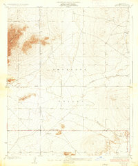
1935 · Wilsona
USGS Topo · 1:24,000

1937 · Shadow Mountains
USGS Topo · 1:48,000

1937 · Kramer
USGS Topo · 1:48,000