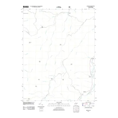
2011 Map of Adolph
USGS Topo · Published 2011About this map
Adolph and Elkwater anchor this survey of the mountainous terrain where the Tygart Valley River meets the drainages of Mill Creek and Birch Fork. The landscape is defined by its deep hollows and prominent knobs, including High Germany Knob and Buck Knob, reflecting a region shaped by timber and small riverside settlements. Traces of early mountain life are visible in place names like Old Fort and Spanoak Corners, while infrastructure such as the Camp Tygart Dam shows more modern management of the local waterways.
Find a feature on this map
58 named features on this map. Tap any name to fly to it.
Don’t see what you’re looking for? This feature index may not catch every label — zoom into the map to look around manually.
Map Details
Editions of this 2011 Adolph Map
This is the sole edition of this map. No revisions or reprints were ever made.
Other maps of this area

1889 · Beverly
USGS Topo · 1:125,000

1892 · Beverly
USGS Topo · 1:125,000

1893 · Buckhannon
USGS Topo · 1:125,000

1896 · Buckhannon
USGS Topo · 1:125,000

1897 · Buckhannon
USGS Topo · 1:125,000

1909 · Elkins
USGS Topo · 1:62,500

1912 · Sago
USGS Topo · 1:48,000

1913 · Pickens
USGS Topo · 1:48,000

1914 · Sago
USGS Topo · 1:62,500

1915 · Pickens
USGS Topo · 1:62,500