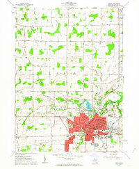
1962 Map of Adrian
USGS Topo · Published 1963About this map
The Raisin River flows through the heart of Adrian in this early 1960s survey, where the city's complex rail network remains a dominant feature of the landscape. Major industrial and transit corridors like the Wabash RR and the Detroit Toledo and Ironton converge near the County Fairground, highlighting the region's historical role as a commercial hub for Lenawee County. The map captures a significant educational and institutional presence, showing the sprawling campuses of Adrian College and Siena Heights College, alongside the State Girls Training Sch. Beyond the urban core, the terrain transitions into a grid of agricultural land and rural school districts such as Red Top Sch and West Adrian Sch. Water management is evident through numerous drains like Fisk Drain and the presence of Lake Adrian, which is neighbored by the Lenawee County Country Club. Local history and genealogy are well-represented by numerous burial grounds, including Oakwood Cemetery and the Lenawee Hills Memorial Park.
Find a feature on this map
93 named features on this map. Tap any name to fly to it.
Don’t see what you’re looking for? This feature index may not catch every label — zoom into the map to look around manually.
Map Details
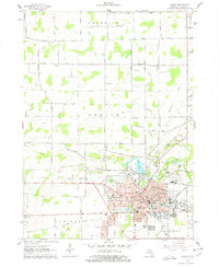
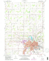
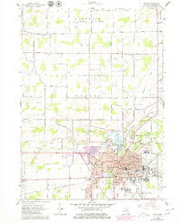
Editions of this 1962 Adrian Map
4 editions found
Other maps of this area

1904 · Ann Arbor
USGS Topo · 1:125,000

1906 · Saline
USGS Topo · 1:62,500

1908 · Ann Arbor
USGS Topo · 1:125,000

1939 · Blissfield
USGS Topo · 1:62,500

1941 · Blissfield
USGS Topo · 1:62,500

1948 · Manchester
USGS Topo · 1:62,500

1949 · Manchester
USGS Topo · 1:62,500

1953 · Fort Wayne
USGS Topo · 1:250,000

1954 · Detroit
USGS Topo · 1:250,000

1956 · Fort Wayne
USGS Topo · 1:250,000