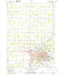
1962 Map of Adrian
USGS Topo · Published 1979About this map
Adrian serves as a bustling hub of education and industry in southeastern Michigan, anchored by the campuses of Adrian College and Siena Heights College. The city's landscape is defined by the winding Raisin River and the significant rail infrastructure of the Wabash RR, Detroit Toledo and Ironton, and the New York Central. Of particular interest to local historians is the State Girls Training Sch on the city's north side and the numerous community landmarks including the Courthouse and the County Fairground. North of the urban center, the terrain transitions into agricultural land dotted with local schools like Free Soil Sch and North Adrian Sch, alongside several gravel pits. Water management is prominent throughout the rural sections of Franklin and Adrian townships, evidenced by a complex network of drains such as Slater Drain and Harkness Drain feeding into Beaver Creek.
Find a feature on this map
84 named features on this map. Tap any name to fly to it.
Don’t see what you’re looking for? This feature index may not catch every label — zoom into the map to look around manually.
Map Details
Editions of this 1962 Adrian Map
4 editions found
Other maps of this area

1904 · Ann Arbor
USGS Topo · 1:125,000

1906 · Saline
USGS Topo · 1:62,500

1908 · Ann Arbor
USGS Topo · 1:125,000

1939 · Blissfield
USGS Topo · 1:62,500

1941 · Blissfield
USGS Topo · 1:62,500

1948 · Manchester
USGS Topo · 1:62,500

1949 · Manchester
USGS Topo · 1:62,500

1953 · Fort Wayne
USGS Topo · 1:250,000

1954 · Detroit
USGS Topo · 1:250,000

1956 · Fort Wayne
USGS Topo · 1:250,000